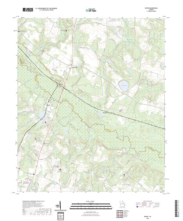
2024 Map of Dover
USGS Topo · Published 2024About this map
The Ogeechee River meanders across the border of Screven Co and Bulloch Co, defining a landscape of low-lying wetlands and dispersed rural settlements. This modern survey shows the clustering of historic burial grounds and churches that continue to anchor these small communities, including the Oak Grove United Methodist Church Cem and the Old Eureka Methodist Cem. Transportation and industry center on the corridor running through Dover, Cooperville, and Donegal, where small industrial markers like the Brooks Instruments Company Pond sit adjacent to local landmarks like Aubrey's Airpark. The terrain is characterized by numerous small branches and named bays, such as Morgan Bay and Horse Pen Bay, illustrating the complex drainage patterns that feed into the larger river system and support various ponds like Jarrell Pond and Ricklighter Pond.
Find a feature on this map
100 named features on this map. Tap any name to fly to it.
Don’t see what you’re looking for? This feature index may not catch every label — zoom into the map to look around manually.
Map Details
Editions of this 2024 Dover Map
This is the sole edition of this map. No revisions or reprints were ever made.
Other maps of this area

1918 · Oliver
USGS Topo · 1:62,500

1920 · Statesboro
USGS Topo · 1:62,500

1920 · Oliver
USGS Topo · 1:62,500

1921 · Brooklet
USGS Topo · 1:62,500

1921 · Rocky Ford
USGS Topo · 1:62,500

1943 · Brooklet
USGS Topo · 1:62,500

1943 · Rocky Ford
USGS Topo · 1:62,500

1943 · Millen
USGS Topo · 1:125,000

1943 · Statesboro
USGS Topo · 1:62,500

1943 · Oliver
USGS Topo · 1:62,500