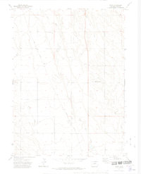
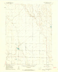
1972 Map of Dover
USGS Topo · Published 1974About this map
The high plains of northern Weld County are defined here by the parallel southward flows of Lone Tree Creek and Little Owl Creek. This 1970s landscape shows a sparse but functional infrastructure, where the Union Pacific railroad corridor serves as the primary spine for transport and communication. The small settlement of Dover sits along this rail line, marked by a benchmark and a cluster of local activity near the intersection of various ranch roads.
Find a feature on this map
8 named features on this map. Tap any name to fly to it.
Don’t see what you’re looking for? This feature index may not catch every label — zoom into the map to look around manually.
Map Details
Editions of this 1972 Dover Map
2 editions found
Other maps of this area

1908 · Eaton
USGS Topo · 1:125,000

1910 · Eaton
USGS Topo · 1:125,000

1954 · Greeley
USGS Topo · 1:250,000

1957 · Greeley
USGS Topo · 1:250,000

1958 · Greeley
USGS Topo · 1:250,000
1960 · Cobb Lake
USGS Topo · 1:24,000
1960 · Nunn
USGS Topo · 1:24,000
1960 · Antelope Reservoir
USGS Topo · 1:24,000

1961 · Greeley
USGS Topo · 1:250,000

1964 · Greeley
USGS Topo · 1:250,000