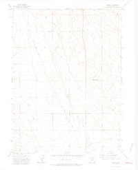
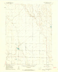
1972 Map of Dover
USGS Topo · Published 1974About this map
The high plains of northern Weld County are defined here by the confluence of drainage systems and early transportation corridors in the early 1970s. The Union Pacific railroad cuts a diagonal line across the landscape, passing through the small community of Dover, where several wells and local structures are clustered. The area serves as a focal point for agricultural study and resource management, anchored by the Pawnee National Grasslands Research Center located in the eastern portion of the quadrangle.
Find a feature on this map
11 named features on this map. Tap any name to fly to it.
Don’t see what you’re looking for? This feature index may not catch every label — zoom into the map to look around manually.
Map Details
Editions of this 1972 Dover Map
2 editions found
Other maps of this area

1908 · Eaton
USGS Topo · 1:125,000

1910 · Eaton
USGS Topo · 1:125,000

1954 · Greeley
USGS Topo · 1:250,000

1957 · Greeley
USGS Topo · 1:250,000

1958 · Greeley
USGS Topo · 1:250,000
1960 · Cobb Lake
USGS Topo · 1:24,000
1960 · Nunn
USGS Topo · 1:24,000
1960 · Antelope Reservoir
USGS Topo · 1:24,000

1961 · Greeley
USGS Topo · 1:250,000

1964 · Greeley
USGS Topo · 1:250,000