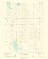
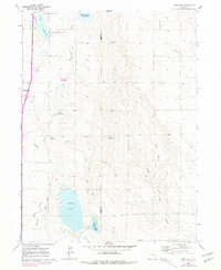
1960 Map of Cobb Lake
USGS Topo · Published 1962About this map
The town of Wellington anchors the western edge of this High Plains landscape, situated just as the agricultural flats meet the rising draws of the Colorado range. This 1960 field check reveals a sophisticated network of water management essential to local ranching and farming, including the Windsor Ditch and Cowan Lateral which feed numerous storage bodies like Cobb Lake and Indian Creek Reservoir. The terrain is defined by the sharp divide of Cactus Hill, where the boundary between Larimer and Weld counties runs through a series of ridges and depressions.
Find a feature on this map
19 named features on this map. Tap any name to fly to it.
Don’t see what you’re looking for? This feature index may not catch every label — zoom into the map to look around manually.
Map Details
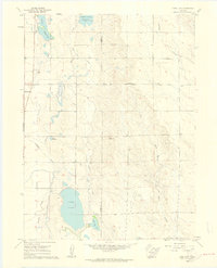
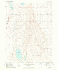
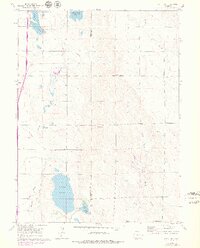
Editions of this 1960 Cobb Lake Map
5 editions found
Other maps of this area

1906 · Fort Collins
USGS Topo · 1:62,500

1907 · Livermore
USGS Topo · 1:125,000

1908 · Fort Collins
USGS Topo · 1:62,500

1908 · Eaton
USGS Topo · 1:125,000

1909 · Livermore
USGS Topo · 1:125,000

1910 · Eaton
USGS Topo · 1:125,000

1954 · Greeley
USGS Topo · 1:250,000

1957 · Greeley
USGS Topo · 1:250,000

1958 · Greeley
USGS Topo · 1:250,000
1960 · Fort Collins
USGS Topo · 1:24,000