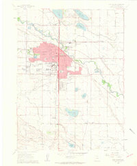
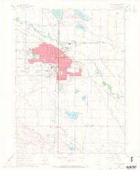
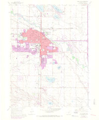
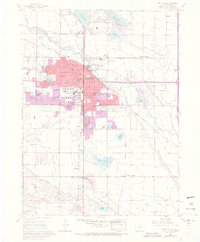
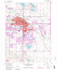
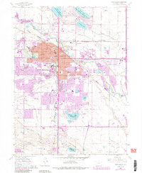
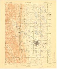
1960 Map of Fort Collins
USGS Topo · Published 1962About this map
Colorado State University and its sprawling campus define the central character of this 1960s landscape, while the industrial heritage of northern Colorado is evident at the Sugar Refinery and various Gravel Pits along the Cache La Poudre River. The map documents a pivotal era of growth for Fort Collins, showing the expansion of residential blocks and schools like the Lesher Jr High Sch and La Porte Ave Sch. Beyond the city limits, a complex network of irrigation through the Larimer and Weld Canal and numerous reservoirs like Long Pond Reservoir No. 5 supports the agricultural surroundings. Small railroad stops and historic localities such as Andersonville, Buckingham, and McClellands sit along the Union Pacific and Burlington lines, providing essential reference points for genealogists tracing family footprints in Larimer County.
Find a feature on this map
62 named features on this map. Tap any name to fly to it.
Don’t see what you’re looking for? This feature index may not catch every label — zoom into the map to look around manually.
Map Details
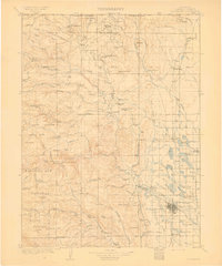
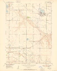
Editions of this 1960 Fort Collins Map
6 editions found
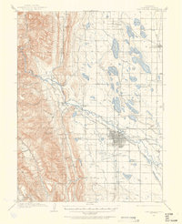
Other maps of this area

1902 · Greeley
USGS Topo · 1:125,000

1906 · Loveland
USGS Topo · 1:62,500
1906 · Fort Collins
USGS Topo · 1:62,500
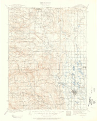
1907 · Livermore
USGS Topo · 1:125,000

1908 · Loveland
USGS Topo · 1:62,500
1908 · Fort Collins
USGS Topo · 1:62,500

1908 · Eaton
USGS Topo · 1:125,000
1909 · Livermore
USGS Topo · 1:125,000

1910 · Eaton
USGS Topo · 1:125,000
1950 · Windsor
USGS Topo · 1:24,000