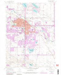
1960 Map of Fort Collins
USGS Topo · Published 1984About this map
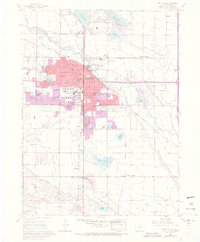
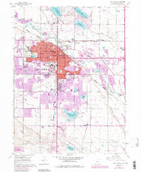
Fort Collins expanded significantly during the mid-20th century, a transformation visible in the sprawling residential developments and academic growth at Colorado State University. The city is defined by its relationship with the Cache La Poudre River, which winds through the northern districts, and a complex system of irrigation and storage reservoirs like Terry Lake and Warren Lake Reservoir. Smaller, established enclaves such as Andersonville and Buckingham sit near the river, while peripheral rail stops and junctions like McClellands and Black Hollow Junction point to the region's agricultural and transit foundations. The infrastructure of the era is further evidenced by the Downtown Fort Collins Airpark and numerous local schools, including Poudre High Sch and Holy Family Sch. Historically significant sites for genealogists include Grandview Cem and Harmony Cem, located as the city grid meets the rural plains.
Find a feature on this map
48 named features on this map. Tap any name to fly to it.
Don’t see what you’re looking for? This feature index may not catch every label — zoom into the map to look around manually.
Map Details
Editions of this 1960 Fort Collins Map
6 editions found
Other maps of this area

1902 · Greeley
USGS Topo · 1:125,000

1906 · Loveland
USGS Topo · 1:62,500

1906 · Fort Collins
USGS Topo · 1:62,500

1907 · Livermore
USGS Topo · 1:125,000

1908 · Loveland
USGS Topo · 1:62,500

1908 · Fort Collins
USGS Topo · 1:62,500

1908 · Eaton
USGS Topo · 1:125,000

1909 · Livermore
USGS Topo · 1:125,000

1910 · Eaton
USGS Topo · 1:125,000

1950 · Windsor
USGS Topo · 1:24,000