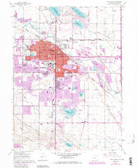
1960 Map of Fort Collins
USGS Topo · Published 1984About this map
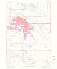
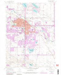
Colorado State University and the expansion of Fort Collins define this 1960 survey, updated through 1984 to show the rapid growth of the urban footprint. The landscape is a complex network of agricultural irrigation and emerging industry, with the Sugar Refinery near Buckingham and Andersonville anchoring the northern river corridor. The Cache La Poudre River winds through the northern half of the sheet, flanked by the Burlington Northern and Union Pacific railroads which facilitated the region's development.
Find a feature on this map
58 named features on this map. Tap any name to fly to it.
Don’t see what you’re looking for? This feature index may not catch every label — zoom into the map to look around manually.
Map Details
Editions of this 1960 Fort Collins Map
6 editions found
Other maps of this area

1902 · Greeley
USGS Topo · 1:125,000

1906 · Loveland
USGS Topo · 1:62,500

1906 · Fort Collins
USGS Topo · 1:62,500

1907 · Livermore
USGS Topo · 1:125,000

1908 · Loveland
USGS Topo · 1:62,500

1908 · Fort Collins
USGS Topo · 1:62,500

1908 · Eaton
USGS Topo · 1:125,000

1909 · Livermore
USGS Topo · 1:125,000

1910 · Eaton
USGS Topo · 1:125,000

1950 · Windsor
USGS Topo · 1:24,000