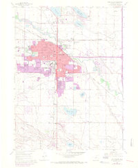
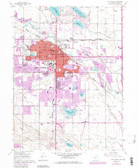
1960 Map of Fort Collins
USGS Topo · Published 1970About this map
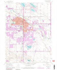
Fort Collins dominates this mid-century landscape, centered on the Colorado State University campus and a dense grid of streets like Mountain Ave and Mulberry St. The city's industrial roots are evident at the Sugar Refinery near Buckingham, while the Cache La Poudre River winds through the northern outskirts, flanked by the Larimer and Weld Canal. Urban expansion is clearly tracked through purple updates, showing new residential growth reaching toward Spring Creek.
Find a feature on this map
71 named features on this map. Tap any name to fly to it.
Don’t see what you’re looking for? This feature index may not catch every label — zoom into the map to look around manually.
Map Details
Editions of this 1960 Fort Collins Map
6 editions found
Other maps of this area

1902 · Greeley
USGS Topo · 1:125,000

1906 · Loveland
USGS Topo · 1:62,500

1906 · Fort Collins
USGS Topo · 1:62,500

1907 · Livermore
USGS Topo · 1:125,000

1908 · Loveland
USGS Topo · 1:62,500

1908 · Fort Collins
USGS Topo · 1:62,500

1908 · Eaton
USGS Topo · 1:125,000

1909 · Livermore
USGS Topo · 1:125,000

1910 · Eaton
USGS Topo · 1:125,000

1950 · Windsor
USGS Topo · 1:24,000