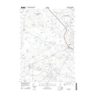
2015 Map of Dover West
USGS Topo · Published 2015About this map
The Univ of New Hampshire-Main Campus anchors the southern portion of this landscape, where the Oyster River and Johnson Creek drain toward the coast. This 2015 study traces the developed corridors of Dover and Somersworth in the east, contrasting with the sprawling woodlands and reservoirs to the west. A network of family-named cemeteries, such as Demeritt Cem and Sanders Cem, provides essential points of reference for genealogists tracking early Strafford County residents. Industrial and transportation history is evident along the B & M RR and at Gates Corner, while the Bellamy Reservoir and Bellamy River Reservoir define the local water management system. The map also details suburban growth around Central Park and Kelwyn Park, showing the modern expansion of these historic New Hampshire communities.
Find a feature on this map
154 named features on this map. Tap any name to fly to it.
Don’t see what you’re looking for? This feature index may not catch every label — zoom into the map to look around manually.
Map Details
Editions of this 2015 Dover West Map
This is the sole edition of this map. No revisions or reprints were ever made.
Other maps of this area

1891 · Berwick
USGS Topo · 1:62,500

1893 · Dover
USGS Topo · 1:62,500

1893 · Berwick
USGS Topo · 1:62,500

1916 · Dover
USGS Topo · 1:62,500

1917 · Mt. Pawtuckaway
USGS Topo · 1:62,500

1918 · Dover
USGS Topo · 1:62,500

1919 · Mt. Pawtuckaway
USGS Topo · 1:62,500

1919 · Alton
USGS Topo · 1:62,500

1933 · Berwick
USGS Topo · 1:48,000

1937 · Berwick
USGS Topo · 1:62,500