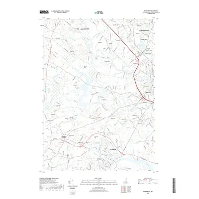
2018 Map of Dover West
USGS Topo · Published 2018About this map
Durham and the extensive Univ of New Hampshire Main Campus dominate the southern landscape of this Strafford County study. The terrain is defined by the winding paths of the Cocheco River, Bellamy River, and Oyster River, which carve through a region of prominent glacial hills such as Pudding Hill and Blackwater Hill. This modern topography shows the established suburban patterns and protected lands around Dover and Rochester, while preserving the locations of numerous historic family and community burial grounds.
Find a feature on this map
222 named features on this map. Tap any name to fly to it.
Don’t see what you’re looking for? This feature index may not catch every label — zoom into the map to look around manually.
Map Details
Editions of this 2018 Dover West Map
This is the sole edition of this map. No revisions or reprints were ever made.
Other maps of this area

1891 · Berwick
USGS Topo · 1:62,500

1893 · Dover
USGS Topo · 1:62,500

1893 · Berwick
USGS Topo · 1:62,500

1916 · Dover
USGS Topo · 1:62,500

1917 · Mt. Pawtuckaway
USGS Topo · 1:62,500

1918 · Dover
USGS Topo · 1:62,500

1919 · Mt. Pawtuckaway
USGS Topo · 1:62,500

1919 · Alton
USGS Topo · 1:62,500

1933 · Berwick
USGS Topo · 1:48,000

1937 · Berwick
USGS Topo · 1:62,500