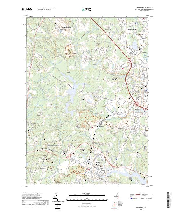
2024 Map of Dover West
USGS Topo · Published 2024About this map
The University of New Hampshire campus dominates the southern portion of this landscape, situated near the tidal reach of the Oyster River. This region of Strafford County is defined by a dense network of family and community burial sites, from the Oyster River Burial Ground to the Paul Randall Crypt and Jones Cem. The terrain is characterized by glacial features like The Hoppers and numerous small water bodies including Willand Pond and Barbadoes Pond.
Find a feature on this map
233 named features on this map. Tap any name to fly to it.
Don’t see what you’re looking for? This feature index may not catch every label — zoom into the map to look around manually.
Map Details
Editions of this 2024 Dover West Map
This is the sole edition of this map. No revisions or reprints were ever made.
Other maps of this area

1891 · Berwick
USGS Topo · 1:62,500

1893 · Dover
USGS Topo · 1:62,500

1893 · Berwick
USGS Topo · 1:62,500

1916 · Dover
USGS Topo · 1:62,500

1917 · Mt. Pawtuckaway
USGS Topo · 1:62,500

1918 · Dover
USGS Topo · 1:62,500

1919 · Mt. Pawtuckaway
USGS Topo · 1:62,500

1919 · Alton
USGS Topo · 1:62,500

1933 · Berwick
USGS Topo · 1:48,000

1937 · Berwick
USGS Topo · 1:62,500