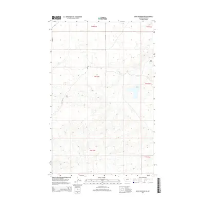
2014 Map of Down Reservoir NW
USGS Topo · Published 2014About this map
Black Coulee dominates the northern and central portions of this Blaine County landscape, where the drainage pattern defines the high plains of northern Montana. The terrain is marked by the winding course of Black Cr as it flows through the southern sections. Transportation in the early twenty-first century is represented by a network of established routes including Fairbanks Rd and Maloney Trail Rd, which navigate the various townships and ranges. This topographic study captures the drainage-defined geography of the region, providing a clear view of how watercourses like the coulee influence the land's character and the placement of rural roads such as Black Coulee Rd and Heilig Rd.
Find a feature on this map
13 named features on this map. Tap any name to fly to it.
Don’t see what you’re looking for? This feature index may not catch every label — zoom into the map to look around manually.
Map Details
Editions of this 2014 Down Reservoir NW Map
This is the sole edition of this map. No revisions or reprints were ever made.
Other maps of this area

1903 · Wayne Creek
USGS Topo · 1:62,500

1905 · Wayne Creek
USGS Topo · 1:62,500

1913 · Cherry Ridge
USGS Topo · 1:125,000

1920 · Avery
USGS Topo · 1:125,000

1953 · Havre
USGS Topo · 1:250,000

1957 · Havre
USGS Topo · 1:250,000

1958 · Havre
USGS Topo · 1:250,000

1964 · Wayne Creek SE
USGS Topo · 1:24,000

1984 · Hogeland SE
USGS Topo · 1:24,000

1984 · Turner
USGS Topo · 1:24,000