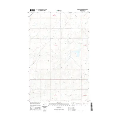
2017 Map of Down Reservoir NW
USGS Topo · Published 2017About this map
Black Coulee and Black Cr define the drainage patterns of this northern Blaine County landscape, where the terrain transitions through several townships including t34n r25e and t35n r25e. This modern topographical study captures a high-plains environment predominantly shaped by seasonal watercourses and a sparse grid of rural transit lines. A network of local corridors such as Turner Rd and Fairbanks Rd provide the primary infrastructure for the area, connecting remote land holdings. Local family or landmark names are preserved in the road designations, including Heilig Rd, Black Coulee Rd, and Duck Pond Rd, which offer a clear view of how modern land management and historical property divisions intersect in this part of Montana.
Find a feature on this map
13 named features on this map. Tap any name to fly to it.
Don’t see what you’re looking for? This feature index may not catch every label — zoom into the map to look around manually.
Map Details
Editions of this 2017 Down Reservoir NW Map
This is the sole edition of this map. No revisions or reprints were ever made.
Other maps of this area

1903 · Wayne Creek
USGS Topo · 1:62,500

1905 · Wayne Creek
USGS Topo · 1:62,500

1913 · Cherry Ridge
USGS Topo · 1:125,000

1920 · Avery
USGS Topo · 1:125,000

1953 · Havre
USGS Topo · 1:250,000

1957 · Havre
USGS Topo · 1:250,000

1958 · Havre
USGS Topo · 1:250,000

1964 · Wayne Creek SE
USGS Topo · 1:24,000

1984 · Hogeland SE
USGS Topo · 1:24,000

1984 · Turner
USGS Topo · 1:24,000