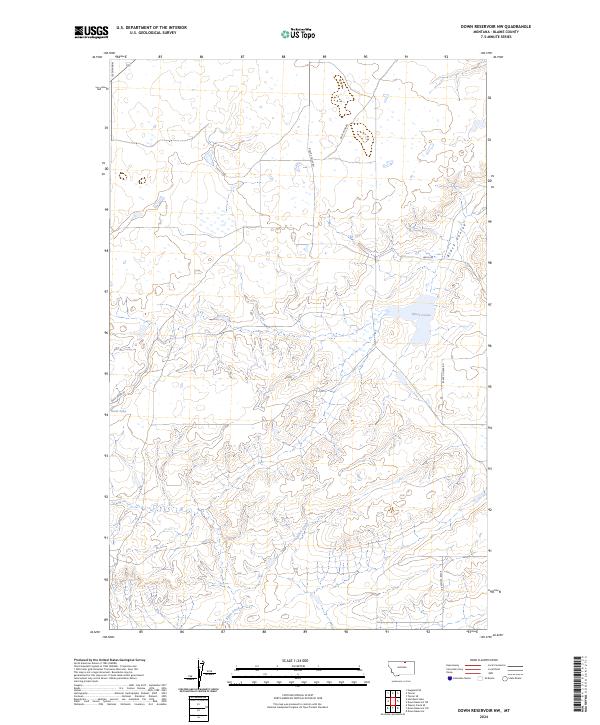
2024 Map of Down Reservoir NW
USGS Topo · Published 2024About this map
Black Coulee National Wildlife Refuge and the adjacent Blaine County Waterfowl Production Area anchor this northern Montana landscape, where conservation land preservation meets high plains hydrology. The terrain is defined by the ephemeral waters of Black Coulee, which sits north of the winding Black Creek drainage system. A network of rural gravel routes, including Fairbanks Rd and Heilig Rd, provides access across the township and range lines. The presence of Duck Lake and various smaller basins suggests a landscape characterized by seasonal prairie potholes, a critical habitat for the regional bird populations identified in the protected areas. This survey illustrates the modern configuration of public lands and water management in this sparsely populated section of the state.
Find a feature on this map
16 named features on this map. Tap any name to fly to it.
Don’t see what you’re looking for? This feature index may not catch every label — zoom into the map to look around manually.
Map Details
Editions of this 2024 Down Reservoir NW Map
This is the sole edition of this map. No revisions or reprints were ever made.
Other maps of this area

1903 · Wayne Creek
USGS Topo · 1:62,500

1905 · Wayne Creek
USGS Topo · 1:62,500

1913 · Cherry Ridge
USGS Topo · 1:125,000

1920 · Avery
USGS Topo · 1:125,000

1953 · Havre
USGS Topo · 1:250,000

1957 · Havre
USGS Topo · 1:250,000

1958 · Havre
USGS Topo · 1:250,000

1964 · Wayne Creek SE
USGS Topo · 1:24,000

1984 · Hogeland SE
USGS Topo · 1:24,000

1984 · Turner
USGS Topo · 1:24,000