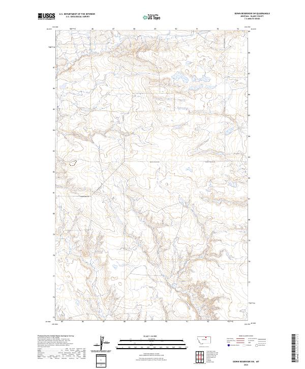
2024 Map of Down Reservoir SW
USGS Topo · Published 2024About this map
Milk Creek and Dodson Creek dominate this northern Montana landscape, carving drainage patterns through the high plains of Blaine County. This modern survey illustrates the persistent rural framework of the region, where the Public Land Survey System grid remains the primary organizing principle across the vast townships of T32N and T33N. Transportation in this part of the Milk River basin is defined by long, gravel-surfaced routes like Black Coulee Rd and Baker Rd, which follow the section lines or trace the high ground between coulees. The presence of Homestead Trl serves as a modern geographic nod to the land-claim history of this area. While contemporary in its mapping standards, the sheet preserves the locations of vital water sources and the sparse network of secondary roads such as E Savoy Rd that connect isolated ranching and agricultural operations.
Find a feature on this map
11 named features on this map. Tap any name to fly to it.
Don’t see what you’re looking for? This feature index may not catch every label — zoom into the map to look around manually.
Map Details
Editions of this 2024 Down Reservoir SW Map
This is the sole edition of this map. No revisions or reprints were ever made.
Other maps of this area

1903 · Wayne Creek
USGS Topo · 1:62,500

1905 · Wayne Creek
USGS Topo · 1:62,500

1913 · Cherry Ridge
USGS Topo · 1:125,000

1920 · Avery
USGS Topo · 1:125,000

1953 · Havre
USGS Topo · 1:250,000

1957 · Havre
USGS Topo · 1:250,000

1958 · Havre
USGS Topo · 1:250,000

1964 · Wayne Creek SE
USGS Topo · 1:24,000

1964 · Coburg
USGS Topo · 1:24,000
1964 · Savoy
USGS Topo · 1:24,000