Loading...
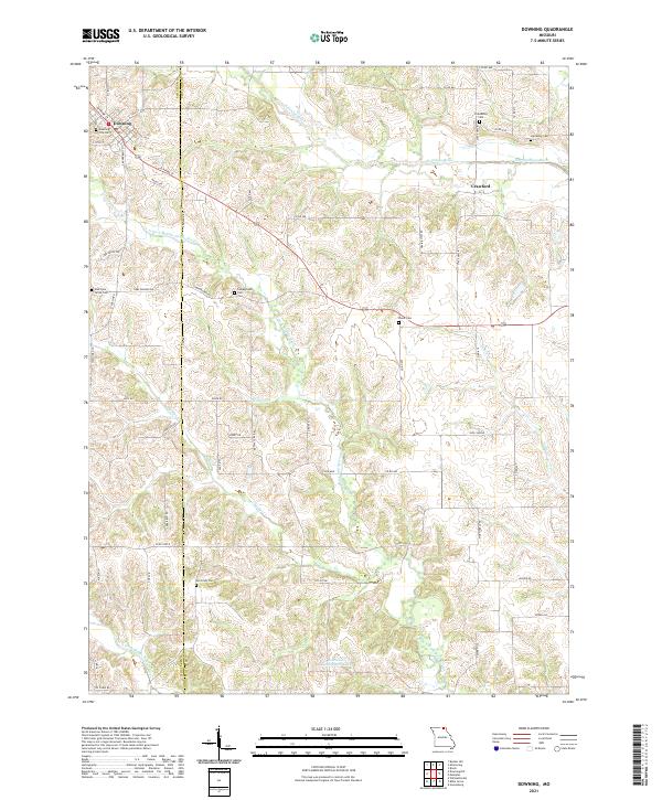
Loading map...2021 Map of Downing
USGS Topo · Published 2021About this map
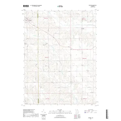
The town of Downing sits at the intersection of local routes in northwestern Missouri, marking a significant point of settlement within Schuyler County. The landscape is defined by the branching drainage systems of the Fabius River, including the North Fabius River and the meandering N Fork Middle Fabius River. A dense network of rural roads, such as Fountain Rd and Camp Ground Rd, connects numerous family and community landmarks that reflect the area's deep-rooted history.
Find a feature on this map
59 named features on this map. Tap any name to fly to it.
Don’t see what you’re looking for? This feature index may not catch every label — zoom into the map to look around manually.
Map Details
Date Portrayed2021
Date Published2021
PublisherU.S. Geological Survey
Map TypeTopographic
Scale1:24,000
Physical Dimensions24 x 29 inches
Editions of this 2021 Downing Map
This is the sole edition of this map. No revisions or reprints were ever made.
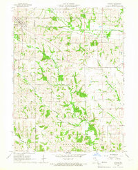
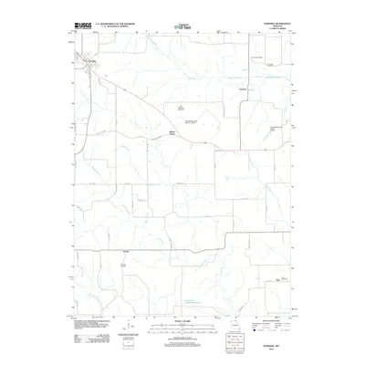
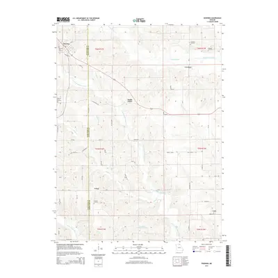
Historical Maps of Downing Through Time
5 maps found
Featured Locations
Source Details
SourceU.S. Geological Survey
CopyrightPublic Domain