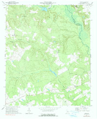
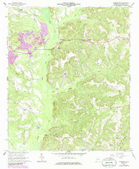
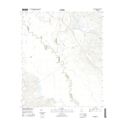
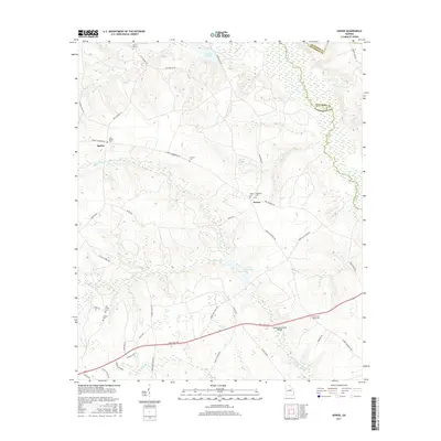
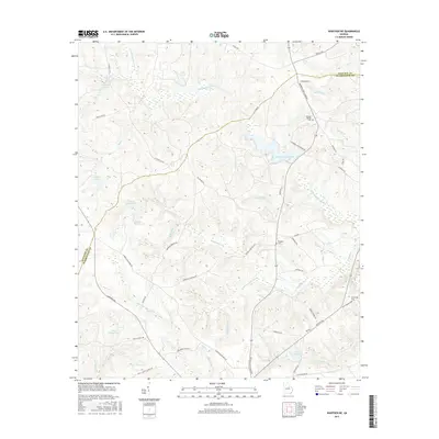
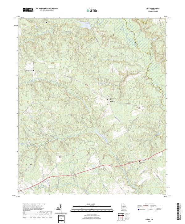
1972 Map of Downs
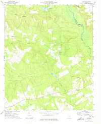
USGS Topo · Published 1991About this map
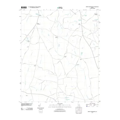
Williamson Swamp Creek meanders through this landscape on the border of Washington and Jefferson counties, defining a region where small rural communities and timberland converge. The settlement of Downs serves as a central point, surrounded by established country congregations like White Oak Ch and Halls Chapel. In the northern section, Archers Lakes and Stephens Creek drain toward the Ogeechee River, which forms the eastern boundary of the quadrangle.
Find a feature on this map
24 named features on this map. Tap any name to fly to it.
Don’t see what you’re looking for? This feature index may not catch every label — zoom into the map to look around manually.
Map Details
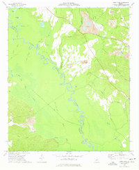
Editions of this 1972 Downs Map
2 editions found
Historical Maps of Downs Through Time
30 maps found
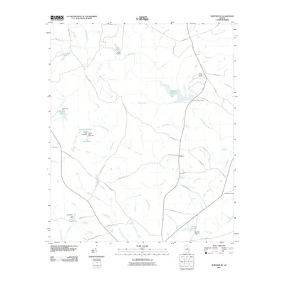
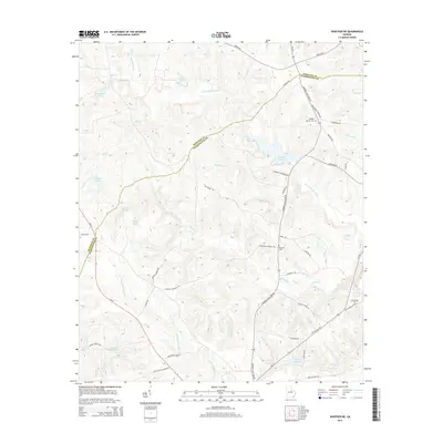
1960 Warthen NE
Washington County, GA
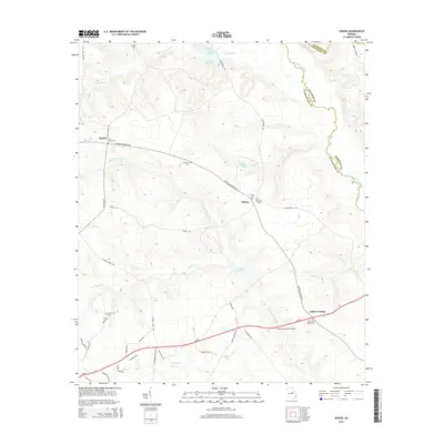
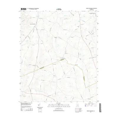
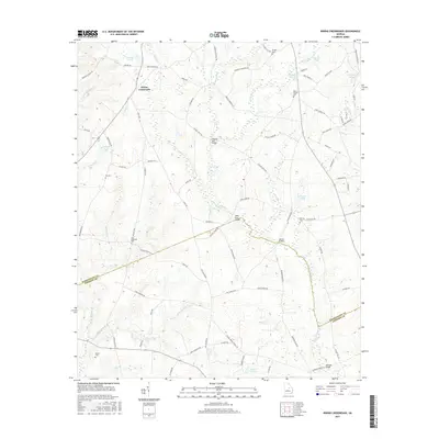
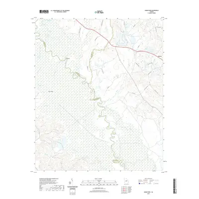
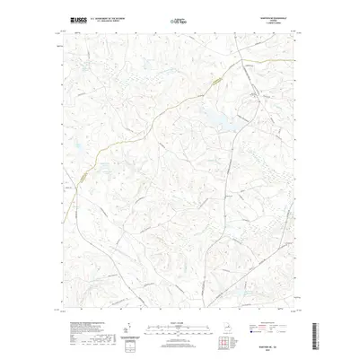
1962 Irwins Crossroads
Washington County, GA
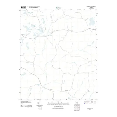
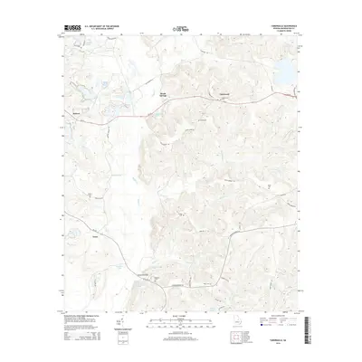
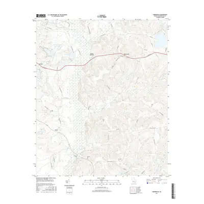
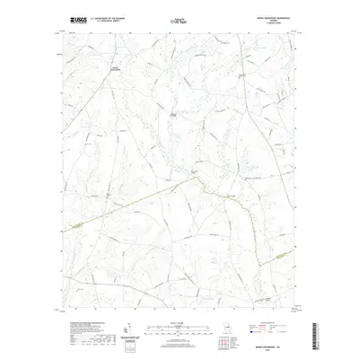
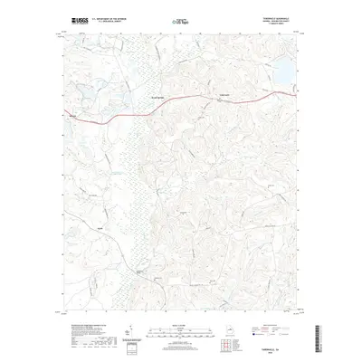
1962 Tabernacle
Washington County, GA
1972 Downs
Washington County, GA
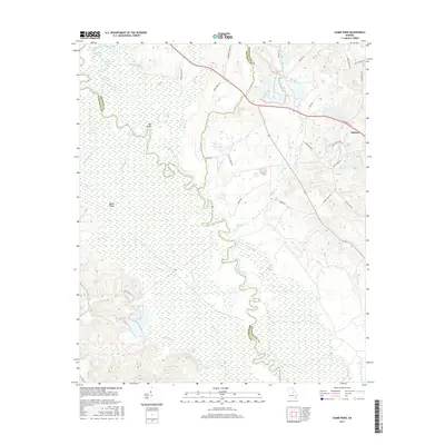
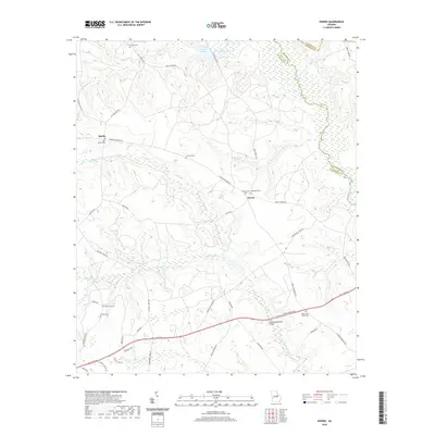
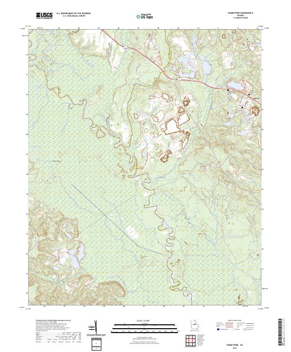
1973 Gumm Pond
Washington County, GA
2011 Downs
Washington County, GA
2011 Gumm Pond
Washington County, GA
2011 Irwins Crossroads
Washington County, GA
2011 Tabernacle
Washington County, GA
2011 Warthen NE
Washington County, GA
2014 Downs
Washington County, GA
2014 Gumm Pond
Washington County, GA
2014 Irwins Crossroads
Washington County, GA
2014 Tabernacle
Washington County, GA
2014 Warthen NE
Washington County, GA
2017 Downs
Washington County, GA
2017 Gumm Pond
Washington County, GA
2017 Irwins Crossroads
Washington County, GA
2017 Tabernacle
Washington County, GA
2017 Warthen NE
Washington County, GA
2020 Downs
Washington County, GA
2020 Gumm Pond
Washington County, GA
2020 Irwins Crossroads
Washington County, GA
2020 Tabernacle
Washington County, GA
2020 Warthen NE
Washington County, GA
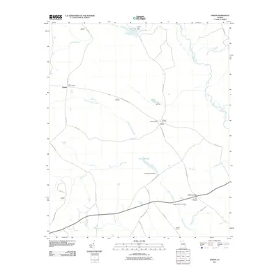
2024 Downs
Washington County, GA
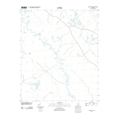
2024 Gumm Pond
Washington County, GA
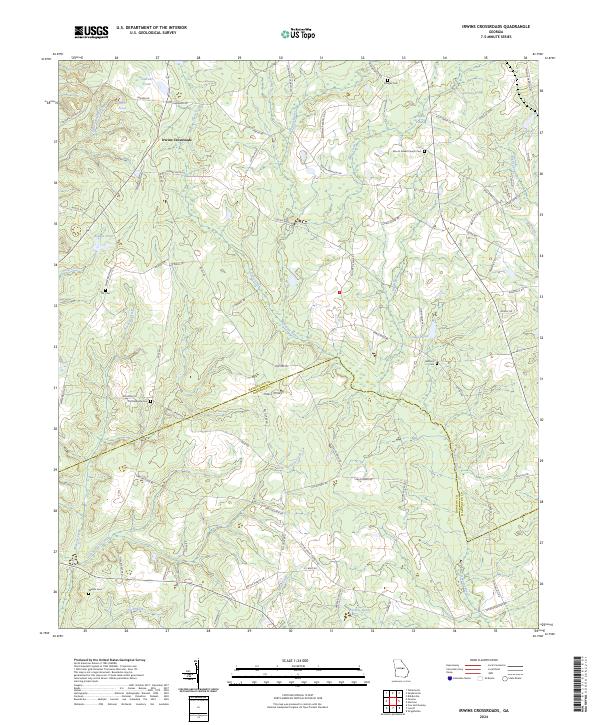
2024 Irwins Crossroads
Washington County, GA
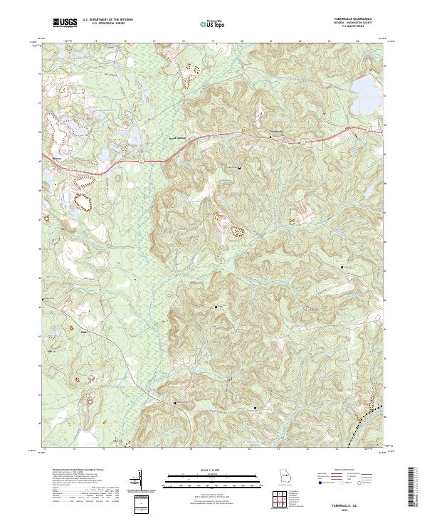
2024 Tabernacle
Washington County, GA
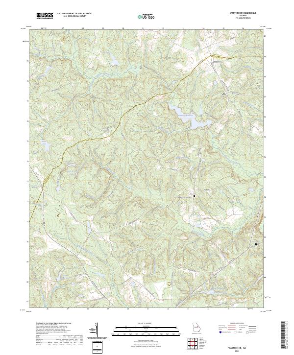
2024 Warthen NE
Washington County, GA