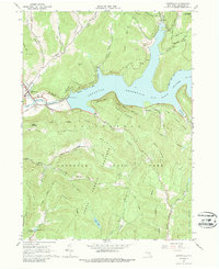
1965 Map of Downsville
USGS Topo · Published 1988About this map
The Downsville community serves as the focal point of this 1965 survey, situated at the junction of the East Branch Delaware River and the expansive Pepacton Reservoir. The map documents a landscape defined by significant water management infrastructure, including the reservoir's intake and a spillway at elevation 1280, alongside the New York City Water Supply Road. Local landmarks such as the Covered Bridge and the Central Sch reflect the town's social center, while the Paige Cem offers a primary reference for genealogists.
Find a feature on this map
48 named features on this map. Tap any name to fly to it.
Don’t see what you’re looking for? This feature index may not catch every label — zoom into the map to look around manually.
Map Details
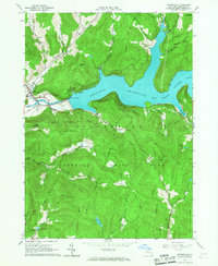
Editions of this 1965 Downsville Map
2 editions found
Other maps of this area

1920 · Long Eddy
USGS Topo · 1:62,500

1921 · Long Eddy
USGS Topo · 1:48,000

1921 · Livingston Manor
USGS Topo · 1:62,500

1922 · Andes
USGS Topo · 1:62,500

1923 · Long Eddy
USGS Topo · 1:62,500

1923 · Walton
USGS Topo · 1:48,000

1923 · Livingston Manor
USGS Topo · 1:62,500

1924 · Andes
USGS Topo · 1:62,500

1925 · Walton
USGS Topo · 1:62,500

1943 · Honesdale
USGS Topo · 1:125,000