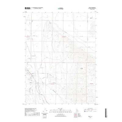
2018 Map of Doyle
USGS Topo · Published 2018About this map
Doyle and Long Valley serve as the primary hubs in this corner of Lassen County, where the high desert terrain meets the foothills of the Fort Sage Mountains. The landscape is defined by its transition from the flat basins of the Honey Lake Valley to the prominent heights of Turtle Mtn. Water remains a central element of the regional geography, evidenced by numerous water sources including Jesus Spring, Steffens Spring, Indian Spring, and Willow Springs.
Find a feature on this map
49 named features on this map. Tap any name to fly to it.
Don’t see what you’re looking for? This feature index may not catch every label — zoom into the map to look around manually.
Map Details
Editions of this 2018 Doyle Map
This is the sole edition of this map. No revisions or reprints were ever made.
Other maps of this area

1886 · Honey Lake
USGS Topo · 1:250,000

1886 · Granite Range
USGS Topo · 1:250,000

1890 · Sierraville
USGS Topo · 1:125,000

1891 · Honey Lake
USGS Topo · 1:250,000

1891 · Reno
USGS Topo · 1:125,000

1892 · Sierraville
USGS Topo · 1:125,000

1893 · Honey Lake
USGS Topo · 1:250,000

1893 · Reno
USGS Topo · 1:125,000

1894 · Granite Range
USGS Topo · 1:250,000

1894 · Sierraville
USGS Topo · 1:125,000