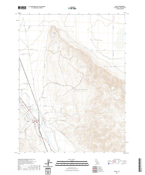
2021 Map of Doyle
USGS Topo · Published 2021About this map
Doyle sits at the edge of the Long Valley floor, where the Sierra Nevada transitions into the arid expanse of the High Desert. This 2021 survey details the settlement's layout alongside Long Valley Creek, where local landmarks like the Long Valley Cem and a network of named roads such as Doyle Grade Rd and Hackstaff Rd anchor the community. The landscape is defined by the sudden rise of the Fort Sage Mountains to the east, reaching up to peaks like Turtle Mtn. This topographic data provides a contemporary look at the complex hydrology of the region, where seasonal drainages including Willow Ranch Cr feed into the northern Honey Lake Valley. Hidden within the mountain slopes, scattered water sources such as Indian Spring, Jesus Spring, and Steffens Spring point to the critical role of natural springs in this high-altitude environment.
Find a feature on this map
55 named features on this map. Tap any name to fly to it.
Don’t see what you’re looking for? This feature index may not catch every label — zoom into the map to look around manually.
Map Details
Editions of this 2021 Doyle Map
This is the sole edition of this map. No revisions or reprints were ever made.
Other maps of this area

1886 · Honey Lake
USGS Topo · 1:250,000

1886 · Granite Range
USGS Topo · 1:250,000

1890 · Sierraville
USGS Topo · 1:125,000

1891 · Honey Lake
USGS Topo · 1:250,000

1891 · Reno
USGS Topo · 1:125,000

1892 · Sierraville
USGS Topo · 1:125,000

1893 · Honey Lake
USGS Topo · 1:250,000

1893 · Reno
USGS Topo · 1:125,000

1894 · Granite Range
USGS Topo · 1:250,000

1894 · Sierraville
USGS Topo · 1:125,000