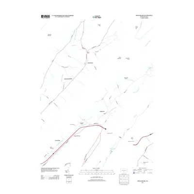
2013 Map of Doylesburg
USGS Topo · Published 2013About this map
Doylesburg and the surrounding agricultural valleys of northern Franklin County are defined by the narrow corridors between Tuscarora Mountain and Rising Mountain. The landscape follows a linear pattern of settlement along Path Valley Rd, where small communities like Doylestown and Amberson sit at the base of steep ridges. Water drainage from the mountains feeds into W Br Conococheague Cr and Trout Run, which support the Gunter Valley Reservoir.
Find a feature on this map
60 named features on this map. Tap any name to fly to it.
Don’t see what you’re looking for? This feature index may not catch every label — zoom into the map to look around manually.
Map Details
Editions of this 2013 Doylesburg Map
This is the sole edition of this map. No revisions or reprints were ever made.
Other maps of this area

1919 · Mattawana
USGS Topo · 1:62,500

1922 · Mt Union
USGS Topo · 1:48,000

1923 · Shippensburg
USGS Topo · 1:62,500

1924 · Mt. Union
USGS Topo · 1:62,500

1936 · East Waterford
USGS Topo · 1:48,000

1939 · Orbisonia
USGS Topo · 1:62,500

1940 · Orbisonia
USGS Topo · 1:62,500

1941 · East Waterford
USGS Topo · 1:62,500

1943 · Shippensburg
USGS Topo · 1:62,500

1944 · Orbisonia
USGS Topo · 1:62,500
Featured Places
- Lurgan Township, PA
- Amberson Valley Estates, Fannett Township
- Laurel Grove, Fannett Township
- Newbridge, Fannett Township
- Tell Township, PA