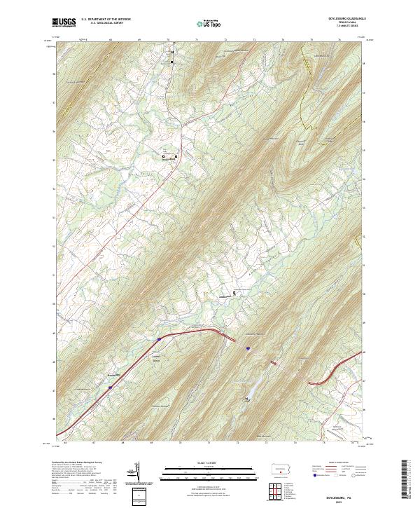
2023 Map of Doylesburg
USGS Topo · Published 2023About this map
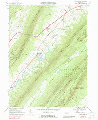
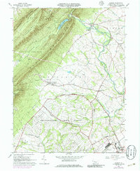
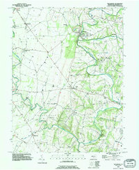
The narrow valleys of northern Franklin County define this landscape, where the West Branch Conococheague Creek flows between the parallel ridges of Tuscarora Mountain and Kittatinny Mountain. In this contemporary survey, the small community of Doylesburg sits at the junction of Path Valley Rd and Mountain Rd, serving as a focal point for the rural landscape of Path Valley. To the east, the Amberson Valley is anchored by Amberson and the Amberson Union Cem, illustrating a long-standing pattern of settlement tucked between Rising Mountain and Blue Mountain.
Find a feature on this map
77 named features on this map. Tap any name to fly to it.
Don’t see what you’re looking for? This feature index may not catch every label — zoom into the map to look around manually.
Map Details
Editions of this 2023 Doylesburg Map
This is the sole edition of this map. No revisions or reprints were ever made.
Historical Maps of Amberson Through Time
15 maps found

1944 Mc Connellsburg
Franklin County, PA
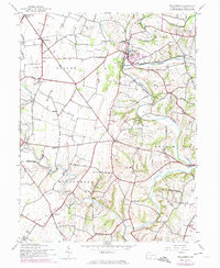
1944 St Thomas
Franklin County, PA
1944 Williamson
Franklin County, PA
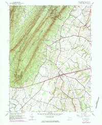
1966 Doylesburg
Franklin County, PA
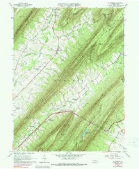
1966 Fannettsburg
Franklin County, PA
1966 Roxbury
Franklin County, PA

1990 Mc Connellsburg
Franklin County, PA

1990 St Thomas
Franklin County, PA
1990 Williamson
Franklin County, PA
2023 Doylesburg
Franklin County, PA
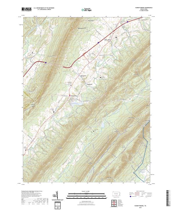
2023 Fannettsburg
Franklin County, PA
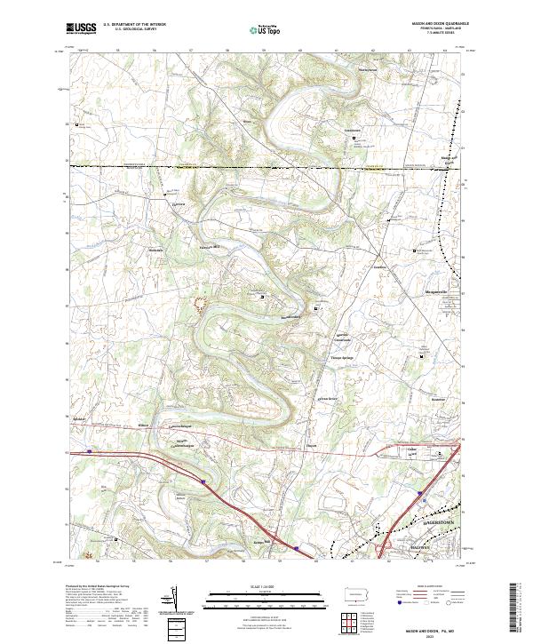
2023 Mason and Dixon
Franklin County, PA
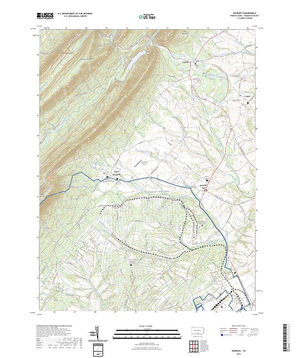
2023 Roxbury
Franklin County, PA
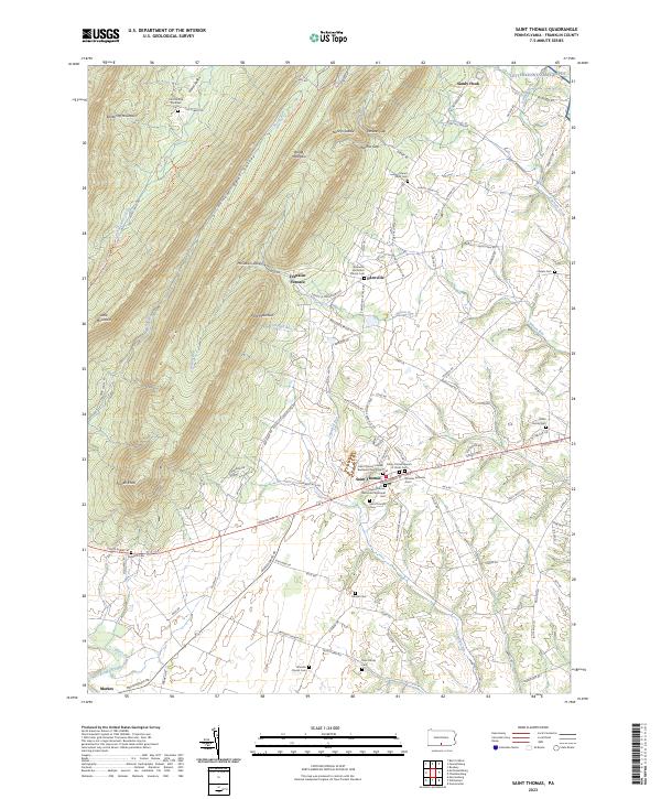
2023 Saint Thomas
Franklin County, PA
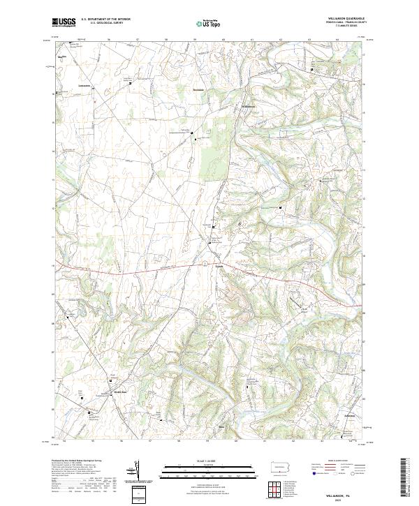
2023 Williamson
Franklin County, PA
Featured Locations
- Fannett Township, PA
- Lurgan Township, PA
- Tell Township, PA
- Toboyne Township, PA
- Amberson Valley Estates, Fannett Township