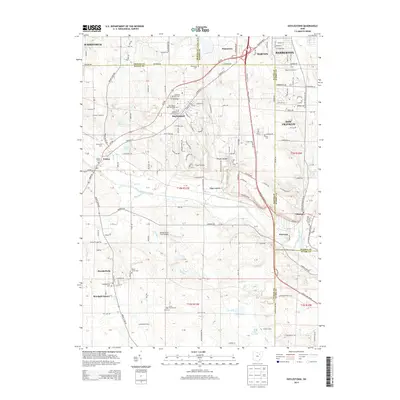
2013 Map of Doylestown
USGS Topo · Published 2013About this map
Doylestown and the surrounding coal-country landscape of northeast Ohio appear here in great detail, showing the intersection of Wayne, Summit, Medina, and Stark counties. This area is characterized by a dense network of country roads like Portage St and Galehouse Rd that connect rural industrial sites and long-standing family farms such as Richvalley Farm and Slicker Farms. Significant water features, including Chippewa Creek and the Tuscarawas River, define the local drainage and topography.
Find a feature on this map
137 named features on this map. Tap any name to fly to it.
Don’t see what you’re looking for? This feature index may not catch every label — zoom into the map to look around manually.
Map Details
Editions of this 2013 Doylestown Map
This is the sole edition of this map. No revisions or reprints were ever made.
Other maps of this area

1901 · Massillon
USGS Topo · 1:62,500

1901 · Wooster
USGS Topo · 1:62,500

1903 · Massillon
USGS Topo · 1:62,500

1903 · Wooster
USGS Topo · 1:62,500

1903 · Akron
USGS Topo · 1:62,500

1904 · Medina
USGS Topo · 1:62,500

1905 · Akron
USGS Topo · 1:62,500

1906 · Medina
USGS Topo · 1:62,500

1950 · Cleveland
USGS Topo · 1:250,000

1951 · Canton
USGS Topo · 1:250,000