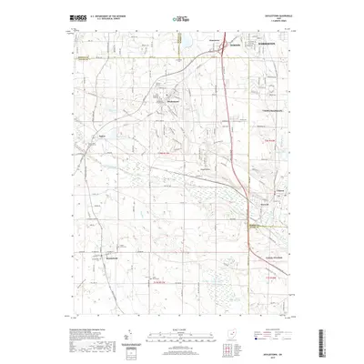
2019 Map of Doylestown
USGS Topo · Published 2019About this map
Doylestown stands as the central hub of this northeastern Ohio landscape, situated where the heights overlooking the Chippewa Creek valley provide a distinct view of the region's complex drainages and small-town clusters. The map details a transition from the rolling uplands of Doylestown and Marshallville down into the riverine corridors of Warwick and Clinton, where the Tuscarawas River and Chippewa Creek converge. This 2019 survey documents a landscape heavily influenced by its water features, including Fox Lake, Pancake Lake, and Bass Lakes, interspersed with numerous historic burial grounds such as Saint Peters and Pauls Cem and the Easton Union Memorial Cem. The settlement at Rogue Hollow and the industrial edges of Barberton and Canal Fulton reflect the enduring community footprints along the county borders of Wayne, Summit, and Stark.
Find a feature on this map
105 named features on this map. Tap any name to fly to it.
Don’t see what you’re looking for? This feature index may not catch every label — zoom into the map to look around manually.
Map Details
Editions of this 2019 Doylestown Map
This is the sole edition of this map. No revisions or reprints were ever made.
Other maps of this area

1901 · Massillon
USGS Topo · 1:62,500

1901 · Wooster
USGS Topo · 1:62,500

1903 · Massillon
USGS Topo · 1:62,500

1903 · Wooster
USGS Topo · 1:62,500

1903 · Akron
USGS Topo · 1:62,500

1904 · Medina
USGS Topo · 1:62,500

1905 · Akron
USGS Topo · 1:62,500

1906 · Medina
USGS Topo · 1:62,500

1950 · Cleveland
USGS Topo · 1:250,000

1951 · Canton
USGS Topo · 1:250,000