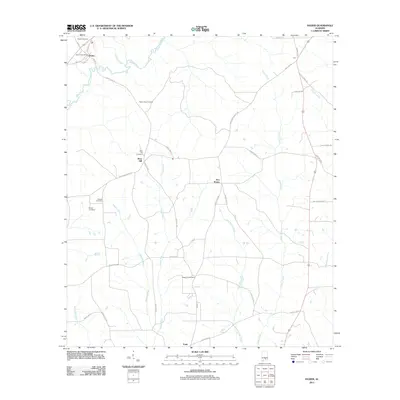
2011 Map of Dozier
USGS Topo · Published 2011About this map
The town of Dozier serves as the focal point of this region, situated where the Conecuh River winds through the landscape. The river system is dense here, with tributaries like Wolfpit Creek and the Yellow River cutting through the terrain. Evidence of rural community life is scattered throughout the area, from the Dozier Post Office to small crossroads like Five Points, Sassers Crossroads, and Eoda. The settlement of Rose Hill is notable for its proximity to several family and community landmarks.
Find a feature on this map
43 named features on this map. Tap any name to fly to it.
Don’t see what you’re looking for? This feature index may not catch every label — zoom into the map to look around manually.
Map Details
Editions of this 2011 Dozier Map
This is the sole edition of this map. No revisions or reprints were ever made.
Other maps of this area

1953 · Andalusia
USGS Topo · 1:250,000

1957 · Andalusia
USGS Topo · 1:250,000

1968 · Danleys Crossroads
USGS Topo · 1:24,000

1968 · Opp East
USGS Topo · 1:24,000

1968 · Bullock
USGS Topo · 1:24,000

1971 · Dozier
USGS Topo · 1:24,000

1971 · Brantley
USGS Topo · 1:24,000

1971 · Andalusia
USGS Topo · 1:24,000

1971 · Gantt
USGS Topo · 1:24,000

1971 · Leon
USGS Topo · 1:24,000