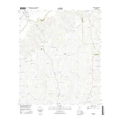
2014 Map of Dozier
USGS Topo · Published 2014About this map
Dozier sits at the junction of Us 29 and Main St in the northwest corner of this Alabama landscape, where the town's early footprint is anchored by the Dozier Cem. The terrain here is defined by the winding course of the Yellow River, which cuts through the center of the quadrangle as it flows south toward the border between Crenshaw Co and Covington Co. This region was historically characterized by small rural settlements and family landmarks, many of which are preserved here through several local burial grounds and churches.
Find a feature on this map
86 named features on this map. Tap any name to fly to it.
Don’t see what you’re looking for? This feature index may not catch every label — zoom into the map to look around manually.
Map Details
Editions of this 2014 Dozier Map
This is the sole edition of this map. No revisions or reprints were ever made.
Other maps of this area

1953 · Andalusia
USGS Topo · 1:250,000

1957 · Andalusia
USGS Topo · 1:250,000

1968 · Danleys Crossroads
USGS Topo · 1:24,000

1968 · Opp East
USGS Topo · 1:24,000

1968 · Bullock
USGS Topo · 1:24,000

1971 · Dozier
USGS Topo · 1:24,000

1971 · Brantley
USGS Topo · 1:24,000

1971 · Andalusia
USGS Topo · 1:24,000

1971 · Gantt
USGS Topo · 1:24,000

1971 · Leon
USGS Topo · 1:24,000