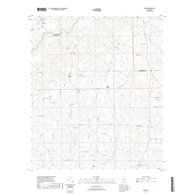
2018 Map of Dozier
USGS Topo · Published 2018About this map
Dozier sits at the northern edge of this landscape, where the Patsaliga River winds through the borderlands of Crenshaw and Covington counties. The area is defined by a network of rural settlements and small communities like Rose Hill, Five Points, and Eoda, connected by winding roads such as Possum Trot Rd and Soggy Bottom Rd. Local genealogy and land history are centered on several historic burial sites, including Dozier Cem, Pilgrim Rest Cem, and Bryant Cem. Multiple watercourses, from the Yellow River to smaller streams like Hornet Cr and Poley Cr, carve through the terrain, illustrating the drainage patterns that shaped early settlement and agricultural development in this part of southern Alabama.
Find a feature on this map
84 named features on this map. Tap any name to fly to it.
Don’t see what you’re looking for? This feature index may not catch every label — zoom into the map to look around manually.
Map Details
Editions of this 2018 Dozier Map
This is the sole edition of this map. No revisions or reprints were ever made.
Other maps of this area

1953 · Andalusia
USGS Topo · 1:250,000

1957 · Andalusia
USGS Topo · 1:250,000

1968 · Danleys Crossroads
USGS Topo · 1:24,000

1968 · Opp East
USGS Topo · 1:24,000

1968 · Bullock
USGS Topo · 1:24,000

1971 · Dozier
USGS Topo · 1:24,000

1971 · Brantley
USGS Topo · 1:24,000

1971 · Andalusia
USGS Topo · 1:24,000

1971 · Gantt
USGS Topo · 1:24,000

1971 · Leon
USGS Topo · 1:24,000