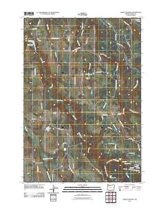
2011 Map of Drake Crossing
USGS Topo · Published 2011About this map
Silverton Hills define the varied geography of this Marion County locale, where the drainages of Abiqua Creek and Silver Creek create a landscape of dramatic elevation changes and numerous cataracts. The area is notable for its concentration of named waterfalls, particularly along the North Fork Silver Creek and South Fork Silver Creek, including South Falls, North Falls, and Double Falls. These natural features are complemented by man-made infrastructure such as Willards Dam and Fox Dam, which manage local water resources for the surrounding rural communities.
Find a feature on this map
68 named features on this map. Tap any name to fly to it.
Don’t see what you’re looking for? This feature index may not catch every label — zoom into the map to look around manually.
Map Details
Editions of this 2011 Drake Crossing Map
This is the sole edition of this map. No revisions or reprints were ever made.
Other maps of this area

1923 · Mount Angel
USGS Topo · 1:62,500

1925 · Stayton
USGS Topo · 1:62,500

1939 · Molalla
USGS Topo · 1:62,500

1940 · Molalla
USGS Topo · 1:62,500

1940 · Mount Angel
USGS Topo · 1:62,500

1941 · Stayton
USGS Topo · 1:62,500

1948 · Vancouver
USGS Topo · 1:250,000

1950 · Vancouver
USGS Topo · 1:250,000

1950 · Vancouver
USGS Topo · 1:250,000

1951 · Lyons
USGS Topo · 1:62,500