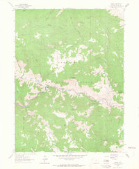
1962 Map of Drake
USGS Topo · Published 1964About this map
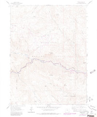
The Big Thompson River carves a deep canyon through this portion of the Roosevelt National Forest, defining the settlement patterns of the early 1960s. Small mountain communities including Drake, Midway, and Waltonia line the narrow river corridor, where the topography transitions from high peaks like Storm Mtn and Spruce Mountain toward the eastern plains. The landscape reflects a specialized mountain economy and infrastructure, featuring the State Fish Hatchery and the Loveland Powerplant. An Aqueduct winds through the canyon walls, following the river's descent toward Cedar Cove. This survey, field-checked in 1962, captures the intersection of water management and recreation, evidenced by the Veterans Mem Park and the network of gulches—such as Bear Gulch and Stringtown Gulch—that feed the main river fork.
Find a feature on this map
44 named features on this map. Tap any name to fly to it.
Don’t see what you’re looking for? This feature index may not catch every label — zoom into the map to look around manually.
Map Details
Editions of this 1962 Drake Map
6 editions found
Other maps of this area

1905 · Mount Olympus
USGS Topo · 1:62,500

1906 · Loveland
USGS Topo · 1:62,500

1906 · Fort Collins
USGS Topo · 1:62,500

1907 · Mount Olympus
USGS Topo · 1:62,500

1907 · Livermore
USGS Topo · 1:125,000

1908 · Loveland
USGS Topo · 1:62,500

1908 · Fort Collins
USGS Topo · 1:62,500

1909 · Livermore
USGS Topo · 1:125,000

1954 · Greeley
USGS Topo · 1:250,000

1957 · Greeley
USGS Topo · 1:250,000