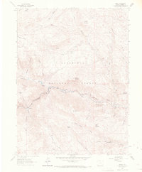
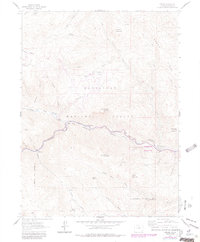
1962 Map of Drake
USGS Topo · Published 1970About this map
The confluence of the Big Thompson River and its North Fork serves as the focal point of this 1960s study of the Roosevelt National Forest. Small mountain settlements like Drake and Waltonia line the narrow river canyon, which follows a winding course through steep terrain. The presence of the State Fish Hatchery near the river fork and the Hyatt Mine to the west suggests an economy rooted in both resource extraction and state conservation efforts during this period.
Find a feature on this map
40 named features on this map. Tap any name to fly to it.
Don’t see what you’re looking for? This feature index may not catch every label — zoom into the map to look around manually.
Map Details
Editions of this 1962 Drake Map
6 editions found
Other maps of this area

1905 · Mount Olympus
USGS Topo · 1:62,500

1906 · Loveland
USGS Topo · 1:62,500

1906 · Fort Collins
USGS Topo · 1:62,500

1907 · Mount Olympus
USGS Topo · 1:62,500

1907 · Livermore
USGS Topo · 1:125,000

1908 · Loveland
USGS Topo · 1:62,500

1908 · Fort Collins
USGS Topo · 1:62,500

1909 · Livermore
USGS Topo · 1:125,000

1954 · Greeley
USGS Topo · 1:250,000

1957 · Greeley
USGS Topo · 1:250,000