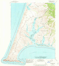
1953 Map of Drakes Bay
USGS Topo · Published 1970About this map
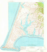
Point Reyes serves as a stark coastal landmark on this 1953 survey, where the rugged Pacific shoreline meets a landscape of expansive Sand Dunes and agricultural ranching operations. The interior of the peninsula is defined by complex tidal systems including Drakes Estero and Limantour Estero, protected behind the long Limantour Spit. Historical land use is evident in the alphabetical branding of properties such as H Ranch, M Ranch, and D Ranch, alongside former industrial and maritime locations like the Blacksmith Shop (Site) and Schooner Ldg (Site). Modern infrastructure at this time included several radio installations and a Coast Guard Reservation at the tip of the point near the Lighthouse. The creation of the Point Reyes National Seashore is also noted, marking a transition toward federal conservation of these diverse coastal habitats.
Find a feature on this map
36 named features on this map. Tap any name to fly to it.
Don’t see what you’re looking for? This feature index may not catch every label — zoom into the map to look around manually.
Map Details
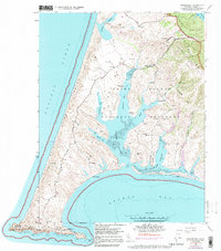
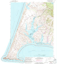
Editions of this 1953 Drakes Bay Map
8 editions found
Other maps of this area

1916 · Point Reyes
USGS Topo · 1:48,000

1918 · Point Reyes
USGS Topo · 1:62,500

1947 · Santa Rosa
USGS Topo · 1:250,000

1947 · San Francisco
USGS Topo · 1:250,000

1948 · San Francisco
USGS Topo · 1:250,000

1949 · Santa Rosa
USGS Topo · 1:250,000

1953 · Drakes Bay
USGS Topo · 1:24,000
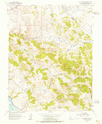
1954 · Point Reyes NE
USGS Topo · 1:24,000
1954 · Inverness
USGS Topo · 1:24,000
1954 · Tomales
USGS Topo · 1:24,000