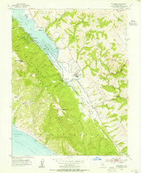
1954 Map of Inverness
USGS Topo · Published 1955About this map
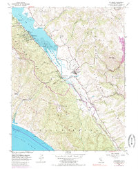
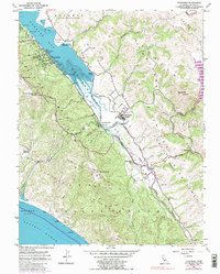
San Andreas Fault Zone defines the dramatic geography of this West Marin landscape, carved by the linear valley of Olema Creek and Tomales Bay. During the mid-1950s, the area remained largely pastoral and marine-oriented, with Oyster Beds and a Yacht Club at Inverness. The transportation network is in a state of transition, visible where the Dismantled Railroad traces the shoreline near Bivalve and Point Reyes Station, marking the end of the narrow-gauge era that once connected these coastal dairies to San Francisco. Significant land holdings like Bear Valley Ranch and Laguna Ranch represent the region's agricultural roots, while the Sir Francis Drake Highway serves as the primary artery connecting inland settlements like Tocaloma and Olema to the coast. From the high points of Mt Wittenburg and Point Reyes Hill, the terrain drops sharply toward the Pacific Ocean and the sheltered waters of Drakes Bay.
Find a feature on this map
46 named features on this map. Tap any name to fly to it.
Don’t see what you’re looking for? This feature index may not catch every label — zoom into the map to look around manually.
Map Details
Editions of this 1954 Inverness Map
6 editions found
Other maps of this area

1897 · Tamalpais
USGS Topo · 1:62,500

1914 · Petaluma
USGS Topo · 1:62,500

1916 · Point Reyes
USGS Topo · 1:48,000

1918 · Point Reyes
USGS Topo · 1:62,500

1941 · Tamalpais
USGS Topo · 1:62,500

1942 · Petaluma
USGS Topo · 1:62,500

1947 · Santa Rosa
USGS Topo · 1:250,000

1947 · San Francisco
USGS Topo · 1:250,000

1948 · San Francisco
USGS Topo · 1:250,000

1949 · Santa Rosa
USGS Topo · 1:250,000