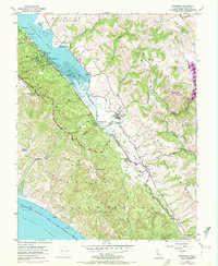
1954 Map of Inverness
USGS Topo · Published 1972About this map
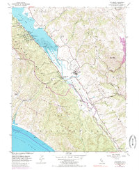
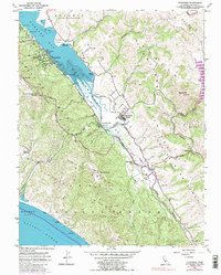
Tomales Bay dominates the coastal geography of this mid-century survey, flanked by the residential pockets of Inverness and Inverness Park. The landscape is a study in transitional land use, where long-established dairy operations like Laguna Ranch and Bear Valley Ranch meet the emerging boundaries of Point Reyes National Seashore. The geologic influence of the San Andreas Fault Valley is clearly visible, guiding the path of Olema Creek and the Dismantled Railroad toward the regional hub at Point Reyes Station. Local landmarks such as the Yacht Club on the bay and the Olema Cem provide specific points of interest for genealogists. The map also traces a network of recreational paths, including the Sky Trail and Coast Trail, ascending toward Mt Wittenberg and Mt Vision.
Find a feature on this map
58 named features on this map. Tap any name to fly to it.
Don’t see what you’re looking for? This feature index may not catch every label — zoom into the map to look around manually.
Map Details
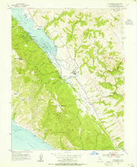
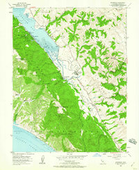
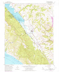
Editions of this 1954 Inverness Map
6 editions found
Other maps of this area

1897 · Tamalpais
USGS Topo · 1:62,500

1914 · Petaluma
USGS Topo · 1:62,500

1916 · Point Reyes
USGS Topo · 1:48,000

1918 · Point Reyes
USGS Topo · 1:62,500

1941 · Tamalpais
USGS Topo · 1:62,500

1942 · Petaluma
USGS Topo · 1:62,500

1947 · Santa Rosa
USGS Topo · 1:250,000

1947 · San Francisco
USGS Topo · 1:250,000

1948 · San Francisco
USGS Topo · 1:250,000

1949 · Santa Rosa
USGS Topo · 1:250,000