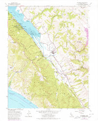
1954 Map of Inverness
USGS Topo · Published 1980About this map
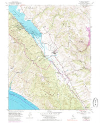
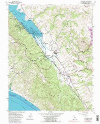
Tomales Bay and the distinct San Andreas Fault Zone define this coastal landscape, where the land is carved into a series of valleys and ridges. The map captures the quiet, early-1950s character of West Marin, centered around the Point Reyes Station transit point and the small settlement at Inverness. The interior terrain is crisscrossed by an extensive network of fire and ranch roads, including the Sky Trail, Meadow Trail, and Bear Valley Trail, reflecting a period when many of these coastal reaches were used for cattle ranching before more formal preservation. Local history is anchored by landmarks such as the Olema Cem and West Marin Sch, while the coastline reveals industrial traces like the Oyster Beds in the bay and a Quarry near Black Mtn. The Sir Francis Drake Highway serves as the primary artery connecting the isolated settlements of Olema, Tocaloma, and Five Brooks.
Find a feature on this map
55 named features on this map. Tap any name to fly to it.
Don’t see what you’re looking for? This feature index may not catch every label — zoom into the map to look around manually.
Map Details
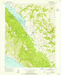
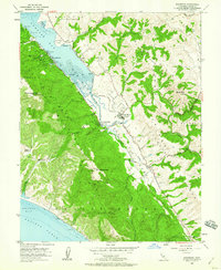
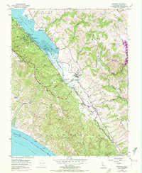
Editions of this 1954 Inverness Map
6 editions found
Other maps of this area

1897 · Tamalpais
USGS Topo · 1:62,500

1914 · Petaluma
USGS Topo · 1:62,500

1916 · Point Reyes
USGS Topo · 1:48,000

1918 · Point Reyes
USGS Topo · 1:62,500

1941 · Tamalpais
USGS Topo · 1:62,500

1942 · Petaluma
USGS Topo · 1:62,500

1947 · Santa Rosa
USGS Topo · 1:250,000

1947 · San Francisco
USGS Topo · 1:250,000

1948 · San Francisco
USGS Topo · 1:250,000

1949 · Santa Rosa
USGS Topo · 1:250,000