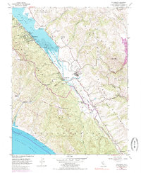
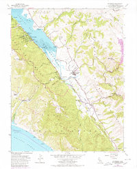
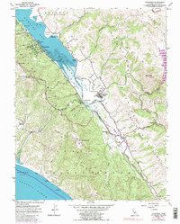
1954 Map of Inverness
USGS Topo · Published 1985About this map
Tomales Bay dominates the landscape of western Marin County, flanked by the prominent Inverness Ridge and Bolinas Ridge. The area reflects a coastal ranching and maritime economy, with the village of Inverness situated along the western shore while Point Reyes Station serves as a central hub to the east. The terrain is marked by significant elevations like Mt Wittenberg and Mt Vision, overlooking a complex network of canyons and gulches.
Find a feature on this map
65 named features on this map. Tap any name to fly to it.
Don’t see what you’re looking for? This feature index may not catch every label — zoom into the map to look around manually.
Map Details
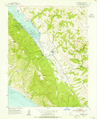
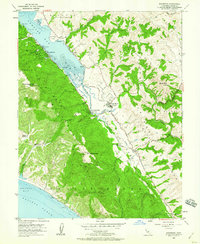
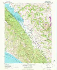
Editions of this 1954 Inverness Map
6 editions found
Other maps of this area

1897 · Tamalpais
USGS Topo · 1:62,500

1914 · Petaluma
USGS Topo · 1:62,500

1916 · Point Reyes
USGS Topo · 1:48,000

1918 · Point Reyes
USGS Topo · 1:62,500

1941 · Tamalpais
USGS Topo · 1:62,500

1942 · Petaluma
USGS Topo · 1:62,500

1947 · Santa Rosa
USGS Topo · 1:250,000

1947 · San Francisco
USGS Topo · 1:250,000

1948 · San Francisco
USGS Topo · 1:250,000

1949 · Santa Rosa
USGS Topo · 1:250,000