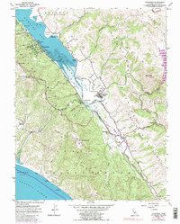
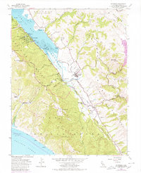
1954 Map of Inverness
USGS Topo · Published 1985About this map
The San Andreas Fault carves a striking northwest-southeast diagonal through this coastal landscape, creating the distinct linear valley that holds Tomales Bay and Olema Creek. Along the bay's western shore, the community of Inverness is surrounded by the wooded heights of Tomales Ridge and landmarks like Mt Vision. To the east, the drainage of Lagunitas Creek meets the bay near Inverness Park and Point Reyes Station, where a dismantled railroad line indicates the area's changing transportation network. Historical land divisions like Nicasio (Frink and Reynolds) and Point Reyes (Sobrante) reflect the region's ranching heritage. Local life is documented through features such as the West Marin Sch, the Olema Cem near Olema, and the Yacht Club on the bay. Coastal recreation and industry are represented by Tomales Bay State Park and marked Oyster Beds.
Find a feature on this map
53 named features on this map. Tap any name to fly to it.
Don’t see what you’re looking for? This feature index may not catch every label — zoom into the map to look around manually.
Map Details
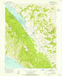
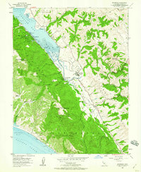
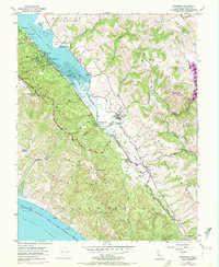
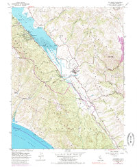
Editions of this 1954 Inverness Map
6 editions found
Other maps of this area

1897 · Tamalpais
USGS Topo · 1:62,500

1914 · Petaluma
USGS Topo · 1:62,500

1916 · Point Reyes
USGS Topo · 1:48,000

1918 · Point Reyes
USGS Topo · 1:62,500

1941 · Tamalpais
USGS Topo · 1:62,500

1942 · Petaluma
USGS Topo · 1:62,500

1947 · Santa Rosa
USGS Topo · 1:250,000

1947 · San Francisco
USGS Topo · 1:250,000

1948 · San Francisco
USGS Topo · 1:250,000

1949 · Santa Rosa
USGS Topo · 1:250,000