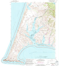
1953 Map of Drakes Bay
USGS Topo · Published 1991About this map
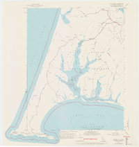
Point Reyes National Seashore dominates this coastal landscape, revealing the complex finger-like geography of Drakes Estero and its various branches such as Schooner Bay and Limantour Estero. The map provides a detailed look at the working ranches of the mid-20th century, including H Ranch, M Ranch, and Home Ranch, which are interspersed throughout the peninsula's coastal scrub and drainage basins. Historical maritime and agricultural operations are evidenced by the Schooner Ldg (Site) and a Blacksmith Shop (Site), marking the transition from early industrial activity to preserved parkland. At the southern tip, the Point Reyes headlands house the Lighthouse and a Coast Guard Reservation, overlooking the Pacific and Sea Lion Cove. The Sir Francis Drake Highway serves as the primary artery connecting these remote ranching outposts to the northern reaches near Tomales Bay State Park.
Find a feature on this map
33 named features on this map. Tap any name to fly to it.
Don’t see what you’re looking for? This feature index may not catch every label — zoom into the map to look around manually.
Map Details
Editions of this 1953 Drakes Bay Map
8 editions found
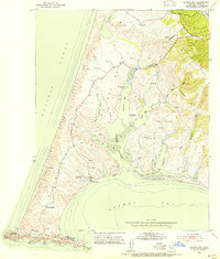
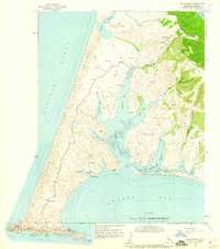
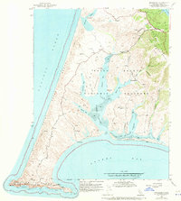
Other maps of this area

1916 · Point Reyes
USGS Topo · 1:48,000

1918 · Point Reyes
USGS Topo · 1:62,500

1947 · Santa Rosa
USGS Topo · 1:250,000

1947 · San Francisco
USGS Topo · 1:250,000

1948 · San Francisco
USGS Topo · 1:250,000

1949 · Santa Rosa
USGS Topo · 1:250,000

1953 · Drakes Bay
USGS Topo · 1:24,000
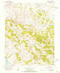
1954 · Point Reyes NE
USGS Topo · 1:24,000
1954 · Inverness
USGS Topo · 1:24,000
1954 · Tomales
USGS Topo · 1:24,000