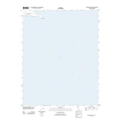
2012 Map of Drakes Bay OE S
USGS Topo · Published 2012About this map
Point Reyes Headlands and the prominent formation at Chimney Rock define the dramatic interface between the California coast and the Pacific Ocean in this 2012 survey. This map captures the extreme southwestern tip of the Marin County peninsula, where the land narrows to a sharp point. Access to this coastal extremity is provided by Sir Francis Drake Blvd, which terminates near the headlands. The sheet is primarily maritime in character, highlighting the geographic isolation and stark topography of this distinctive Pacific landmark before it drops off into the deep waters of the shelf.
Find a feature on this map
4 named features on this map. Tap any name to fly to it.
Don’t see what you’re looking for? This feature index may not catch every label — zoom into the map to look around manually.
Map Details
Editions of this 2012 Drakes Bay OE S Map
This is the sole edition of this map. No revisions or reprints were ever made.
Other maps of this area

1916 · Point Reyes
USGS Topo · 1:48,000

1918 · Point Reyes
USGS Topo · 1:62,500

1947 · Santa Rosa
USGS Topo · 1:250,000

1947 · San Francisco
USGS Topo · 1:250,000

1948 · San Francisco
USGS Topo · 1:250,000

1949 · Santa Rosa
USGS Topo · 1:250,000

1953 · Drakes Bay
USGS Topo · 1:24,000
1954 · Inverness
USGS Topo · 1:24,000
1954 · Double Point
USGS Topo · 1:24,000
1954 · Point Reyes
USGS Topo · 1:62,500