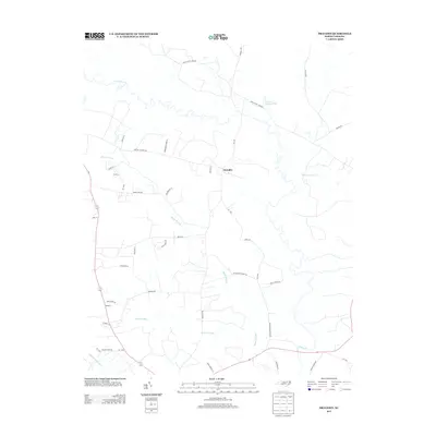
2013 Map of Draughn
USGS Topo · Published 2013About this map
Draughn and the surrounding coastal plain of Edgecombe County are defined by a sophisticated network of slow-moving water and agricultural lands. The landscape is heavily influenced by the meandering Fishing Cr, which forms a natural boundary to the north, and a series of expansive wetlands including Maple Swamp, Cow Haul Swamp, and Moore Swamp. These swamp systems interlock with the local road network, where family-named routes like Douglas Hill Farm Rd and Draughon Farm Ln reflect a long-standing rural heritage.
Find a feature on this map
40 named features on this map. Tap any name to fly to it.
Don’t see what you’re looking for? This feature index may not catch every label — zoom into the map to look around manually.
Map Details
Editions of this 2013 Draughn Map
This is the sole edition of this map. No revisions or reprints were ever made.
Other maps of this area

1901 · Parmele
USGS Topo · 1:62,500

1902 · Parmele
USGS Topo · 1:62,500

1902 · Tarboro
USGS Topo · 1:62,500

1903 · Tarboro
USGS Topo · 1:62,500

1953 · Norfolk
USGS Topo · 1:250,000

1953 · Rocky Mount
USGS Topo · 1:250,000

1954 · Rocky Mount
USGS Topo · 1:250,000

1960 · Dawson Crossroads
USGS Topo · 1:24,000

1960 · Draughn
USGS Topo · 1:24,000

1961 · Whitakers
USGS Topo · 1:24,000