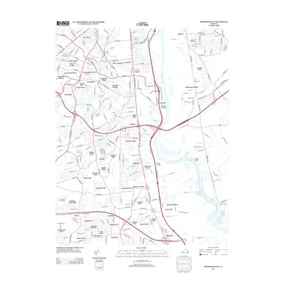
2013 Map of Drewrys Bluff
USGS Topo · Published 2013About this map
Drewrys Bluff and Chaffin Bluff command the eastern banks of the James River, where the waterway makes its sweeping turn at Kingsland Reach. This modern landscape in Chesterfield County reflects a dense network of suburban residential development and industrial corridors. Major infrastructure such as the Falling Cr Reservoir and the Polishing Pond near Warwick sit alongside numerous established neighborhoods, including Bensley, Beulah Village, and Walmsley Village.
Find a feature on this map
254 named features on this map. Tap any name to fly to it.
Don’t see what you’re looking for? This feature index may not catch every label — zoom into the map to look around manually.
Map Details
Editions of this 2013 Drewrys Bluff Map
This is the sole edition of this map. No revisions or reprints were ever made.
Other maps of this area

1890 · Goochland
USGS Topo · 1:125,000

1892 · Goochland
USGS Topo · 1:125,000

1894 · Bermuda Hundred
USGS Topo · 1:62,500

1894 · Richmond
USGS Topo · 1:62,500

1895 · Richmond
USGS Topo · 1:62,500

1897 · Amelia
USGS Topo · 1:125,000

1934 · Seven Pines
USGS Topo · 1:24,000

1934 · Richmond
USGS Topo · 1:24,000

1936 · Richmond West
USGS Topo · 1:24,000

1938 · Dutch Gap
USGS Topo · 1:24,000