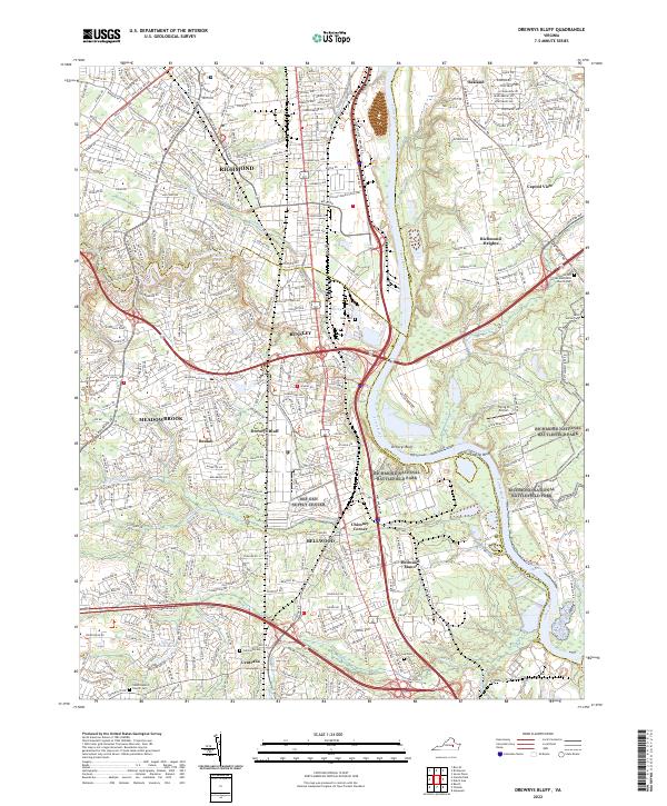
2022 Map of Drewrys Bluff
USGS Topo · Published 2022About this map
The James River carves a deep path through this landscape south of Richmond, separating Henrico and Chesterfield counties. Steeped in Civil War significance, the terrain features the prominent Drewrys Bluff and Chaffin's Bluff overlooking the river bends, much of which is preserved within Richmond National Battlefield Park. The area is a complex mix of historic defensive positions and modern logistical hubs, notably the sprawling Def Gen Supply Center and the Flying W Airport near Eaves Lake.
Find a feature on this map
46 named features on this map. Tap any name to fly to it.
Don’t see what you’re looking for? This feature index may not catch every label — zoom into the map to look around manually.
Map Details
Editions of this 2022 Drewrys Bluff Map
This is the sole edition of this map. No revisions or reprints were ever made.
Other maps of this area

1890 · Goochland
USGS Topo · 1:125,000

1892 · Goochland
USGS Topo · 1:125,000

1894 · Bermuda Hundred
USGS Topo · 1:62,500

1894 · Richmond
USGS Topo · 1:62,500

1895 · Richmond
USGS Topo · 1:62,500

1897 · Amelia
USGS Topo · 1:125,000

1934 · Seven Pines
USGS Topo · 1:24,000

1934 · Richmond
USGS Topo · 1:24,000

1936 · Richmond West
USGS Topo · 1:24,000

1938 · Dutch Gap
USGS Topo · 1:24,000