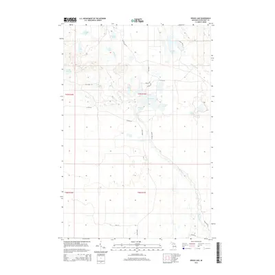
2014 Map of Driggs Lake
USGS Topo · Published 2014About this map
The Driggs River and Little Fox River systems define this Michigan landscape, winding through a dense network of glacial lakes and wetlands. The hydrography of the Upper Peninsula is on full display here, featuring numerous water bodies such as Driggs Lake, Mahoney Lake, and the small Little Ross Lake. The terrain is marked by the subtle drainage patterns of Mahoney Cr and Negro Cr, which feed into the larger river basins.
Find a feature on this map
35 named features on this map. Tap any name to fly to it.
Don’t see what you’re looking for? This feature index may not catch every label — zoom into the map to look around manually.
Map Details
Editions of this 2014 Driggs Lake Map
This is the sole edition of this map. No revisions or reprints were ever made.
Other maps of this area

1931 · Driggs Lake NE
USGS Topo · 1:31,680

1931 · Shingleton NE
USGS Topo · 1:31,680

1931 · Driggs Lake NW
USGS Topo · 1:31,680

1931 · Shingleton SE
USGS Topo · 1:31,680

1931 · Driggs Lake SW
USGS Topo · 1:31,680

1931 · Driggs Lake SE
USGS Topo · 1:31,680

1958 · Shingleton
USGS Topo · 1:62,500

1958 · Grand Portal Point
USGS Topo · 1:62,500

1958 · Marquette
USGS Topo · 1:250,000

1960 · Marquette
USGS Topo · 1:250,000