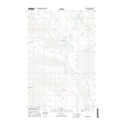
2017 Map of Driggs Lake
USGS Topo · Published 2017About this map
Driggs River snakes through the dense wetlands of central Schoolcraft County, anchoring a landscape dominated by glacial lakes and expansive peatlands. This 2017 survey reveals the intricate hydrology of the Hiawatha National Forest region, where water bodies like Cranberry Lake and Mahoney Lake are interconnected by seasonal creeks and marshland. The presence of the Walsh Grade reflects the area's logging history, as these former rail grades now serve as corridors through the low-lying terrain. To the north, the Fox River Pathway provides recreational access near Stanley Lake, while the vast Creighton Marsh and Driggs Marsh illustrate the persistent boggy character of the Upper Peninsula interior. This map is a record of a region where human infrastructure, such as Co Hwy 450, is carefully placed to navigate between permanent water and sensitive marshes.
Find a feature on this map
36 named features on this map. Tap any name to fly to it.
Don’t see what you’re looking for? This feature index may not catch every label — zoom into the map to look around manually.
Map Details
Editions of this 2017 Driggs Lake Map
This is the sole edition of this map. No revisions or reprints were ever made.
Other maps of this area

1931 · Driggs Lake NE
USGS Topo · 1:31,680

1931 · Shingleton NE
USGS Topo · 1:31,680

1931 · Driggs Lake NW
USGS Topo · 1:31,680

1931 · Shingleton SE
USGS Topo · 1:31,680

1931 · Driggs Lake SW
USGS Topo · 1:31,680

1931 · Driggs Lake SE
USGS Topo · 1:31,680

1958 · Shingleton
USGS Topo · 1:62,500

1958 · Grand Portal Point
USGS Topo · 1:62,500

1958 · Marquette
USGS Topo · 1:250,000

1960 · Marquette
USGS Topo · 1:250,000