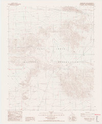
1986 Map of Drinkwater Lake
USGS Topo · Published 1986About this map
The Fort Irwin Military Reservation dominates this desert landscape, where the shifting sands and rocky outcrops of the Granite Mountains intersect with the dry expanse of Drinkwater Lake. This mid-1980s survey reveals a terrain defined by sparse water sources and specialized infrastructure, featuring isolated sites like Drinkwater Spring and Devouge Spring. The presence of a marked Grave in the southern portion of the quadrangle suggests the solitary and often harsh history of travel through these arid corridors. Infrastructure is minimal, represented by a Radio Facility and Radio Tower perched on higher elevations, serving the communication needs of the military range. Geographic landmarks such as Granite Pass provide natural transition points through the high desert, while scattered wells and water tanks underscore the logistical challenges of the Mojave environment.
Find a feature on this map
13 named features on this map. Tap any name to fly to it.
Don’t see what you’re looking for? This feature index may not catch every label — zoom into the map to look around manually.
Map Details
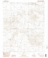
Editions of this 1986 Drinkwater Lake Map
2 editions found
Other maps of this area

1933 · Avawatz Mountains
USGS Topo · 1:250,000

1947 · Trona
USGS Topo · 1:250,000

1948 · Red Pass Lake
USGS Topo · 1:62,500

1948 · Trona
USGS Topo · 1:250,000

1948 · Leach Lake
USGS Topo · 1:62,500

1948 · Avawatz Pass
USGS Topo · 1:62,500

1948 · Tiefort Mountains
USGS Topo · 1:62,500

1951 · Tiefort Mountains
USGS Topo · 1:62,500

1951 · Avawatz Pass
USGS Topo · 1:62,500

1951 · Red Pass Lake
USGS Topo · 1:62,500