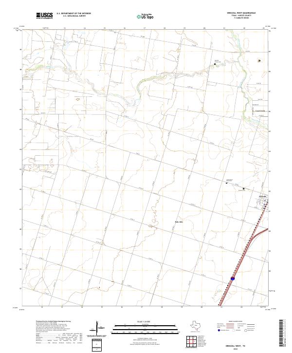
2022 Map of Driscoll West
USGS Topo · Published 2022About this map
Palo Alto and the surrounding coastal plains of Nueces County define this landscape, characterized by an extensive network of rural roads and drainage systems. The settlement of Driscoll sits on the eastern edge of the survey, where the street grid of 1st St and W Ave G meets the regional highway corridor. Outside of the towns, the terrain is dominated by the winding paths of Pintas Cr and Petronila Creek, which cut across the agricultural landscape. Genealogists and local historians will find several significant burial sites, including the Cementerio De La Luz, Rancho Plomo Cem, and Driscoll Cem. This modern topographic study illustrates how established land tracts are intersected by newer developments like Lost Creek and the farm-to-market road system, including FM 665 and FM 2826.
Find a feature on this map
39 named features on this map. Tap any name to fly to it.
Don’t see what you’re looking for? This feature index may not catch every label — zoom into the map to look around manually.
Map Details
Editions of this 2022 Driscoll West Map
This is the sole edition of this map. No revisions or reprints were ever made.
Other maps of this area

1924 · Petronilla
USGS Topo · 1:62,500

1925 · Robstown
USGS Topo · 1:62,500

1950 · Corpus Christi
USGS Topo · 1:250,000

1954 · Orange Grove
USGS Topo · 1:62,500

1954 · Robstown
USGS Topo · 1:62,500

1954 · Kingsville
USGS Topo · 1:62,500

1954 · Petronila
USGS Topo · 1:62,500

1956 · Corpus Christi
USGS Topo · 1:250,000

1960 · Corpus Christi
USGS Topo · 1:250,000

1966 · Corpus Christi
USGS Topo · 1:250,000