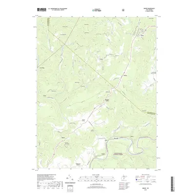
2019 Map of Droop
USGS Topo · Published 2019About this map
Droop Mtn serves as the central landmark for this transition from the high ridges of the Yew Mountains to the fertile agricultural stretches of the Little Levels. This survey captures the rural character of the Pocahontas and Greenbrier county line, where small settlements like Renicks Valley and Jacox are linked by a network of winding county routes. The eastern edge of the map features the Locust Creek Covered Bridge and the Greenbrier River Rail-Trail, illustrating how former industrial rail corridors have been repurposed for modern recreation within the Monongahela National Forest.
Find a feature on this map
96 named features on this map. Tap any name to fly to it.
Don’t see what you’re looking for? This feature index may not catch every label — zoom into the map to look around manually.
Map Details
Editions of this 2019 Droop Map
This is the sole edition of this map. No revisions or reprints were ever made.
Other maps of this area

1887 · Lewisburg
USGS Topo · 1:125,000

1891 · Lewisburg
USGS Topo · 1:125,000

1891 · Huntersville
USGS Topo · 1:125,000

1894 · Huntersville
USGS Topo · 1:125,000

1921 · Callaghan
USGS Topo · 1:48,000

1921 · White Sulphur Springs
USGS Topo · 1:48,000

1923 · Lobelia
USGS Topo · 1:48,000

1923 · White Sulphur Springs
USGS Topo · 1:62,500

1923 · Marlinton
USGS Topo · 1:48,000

1923 · Callaghan
USGS Topo · 1:62,500