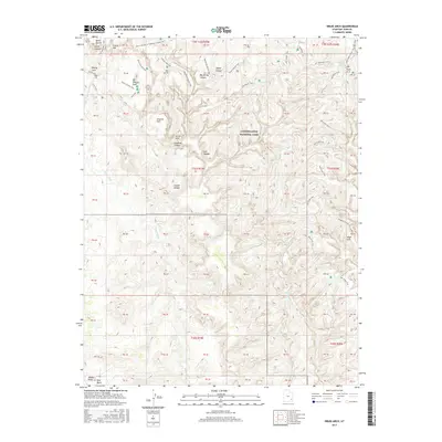
2017 Map of Druid Arch
USGS Topo · Published 2017About this map
Canyonlands National Park provides the backdrop for this detailed topographic study of a deeply dissected desert landscape. The map centers on the namesake Druid Arch and the surrounding labyrinth of canyons and basins that define the Needles district. High plateaus and hidden basins like Chesler Park and Virginia Park are accessible only by a complex network of footpaths, including the Joint Trail and Chester Park Trail. The drainages of Elephant Canyon and Big Spring Canyon converge here, carved into the sandstone over eons. To the east, the Salt Cr drainage serves as a primary corridor, passing beneath Angel Arch and past Upper Jump. The south is dominated by the broad expanse of Beef Basin and Middle Park, where the terrain begins to open slightly away from the dense canyon systems.
Find a feature on this map
70 named features on this map. Tap any name to fly to it.
Don’t see what you’re looking for? This feature index may not catch every label — zoom into the map to look around manually.
Map Details
Editions of this 2017 Druid Arch Map
This is the sole edition of this map. No revisions or reprints were ever made.
Other maps of this area

1885 · La Sal
USGS Topo · 1:250,000

1886 · Abajo
USGS Topo · 1:250,000

1892 · Abajo
USGS Topo · 1:250,000

1893 · Abajo
USGS Topo · 1:250,000

1935 · Elk Ridge
USGS Topo · 1:96,000

1940 · Elk Ridge
USGS Topo · 1:125,000

1953 · Carlisle 3 NW
USGS Topo · 1:24,000

1953 · The Needles
USGS Topo · 1:62,500

1954 · Elk Ridge 1 NW
USGS Topo · 1:24,000

1954 · Carlisle 4 SW
USGS Topo · 1:24,000