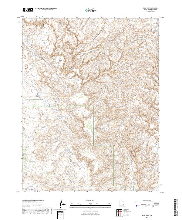
2023 Map of Druid Arch
USGS Topo · Published 2023About this map
Canyonlands National Park dominates this high-desert landscape in San Juan County, where a intricate network of canyons and sandstone formations defines the geography. The map captures a specialized topography of isolated basins like Chesler Park and Virginia Park, surrounded by complex drainages including Elephant Canyon and Big Spring Canyon. The presence of numerous named arches and landmarks, such as Druid Arch, Angel Arch, and Trail Arch, alongside descriptive names like Kissing Cows and S.O.B. Hill, reflects the area's history of exploration and recreational significance.
Find a feature on this map
31 named features on this map. Tap any name to fly to it.
Don’t see what you’re looking for? This feature index may not catch every label — zoom into the map to look around manually.
Map Details
Editions of this 2023 Druid Arch Map
This is the sole edition of this map. No revisions or reprints were ever made.
Other maps of this area

1885 · La Sal
USGS Topo · 1:250,000

1886 · Abajo
USGS Topo · 1:250,000

1892 · Abajo
USGS Topo · 1:250,000

1893 · Abajo
USGS Topo · 1:250,000

1935 · Elk Ridge
USGS Topo · 1:96,000

1940 · Elk Ridge
USGS Topo · 1:125,000

1953 · Carlisle 3 NW
USGS Topo · 1:24,000

1953 · The Needles
USGS Topo · 1:62,500

1954 · Elk Ridge 1 NW
USGS Topo · 1:24,000

1954 · Carlisle 4 SW
USGS Topo · 1:24,000