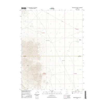
2017 Map of Drum Mountains Well
USGS Topo · Published 2017About this map
The Detroit Mountains dominate the western edge of this arid landscape where Millard and Juab counties meet. The terrain is defined by its extreme relief and sparse water sources, centered on the Drum Mountains Well and the remote Brush Hwy corridor. These features suggest a region historically used for grazing and transport through the West Desert, where every water point was critical for survival. To the east, the land levels out toward ephemeral catchments like Picture Rock Wash Reservoir and Big Drum Reservoir. The drainage of Picture Rock Wash and the Delta Brush Left Fork trace the natural paths of seasonal runoff across the basin floor, illustrating the complex hydrology required to sustain activity in such a parched environment.
Find a feature on this map
12 named features on this map. Tap any name to fly to it.
Don’t see what you’re looking for? This feature index may not catch every label — zoom into the map to look around manually.
Map Details
Editions of this 2017 Drum Mountains Well Map
This is the sole edition of this map. No revisions or reprints were ever made.
Other maps of this area

1885 · Sevier Desert
USGS Topo · 1:250,000

1908 · Fish Springs
USGS Topo · 1:250,000

1910 · Fish Springs
USGS Topo · 1:250,000

1953 · Topaz Mtn
USGS Topo · 1:62,500

1953 · Delta
USGS Topo · 1:250,000

1958 · Delta
USGS Topo · 1:250,000

1962 · Delta
USGS Topo · 1:250,000

1971 · Smelter Knolls East
USGS Topo · 1:24,000

1971 · Picture Rock Hills
USGS Topo · 1:24,000

1971 · Drum Mts Well
USGS Topo · 1:24,000