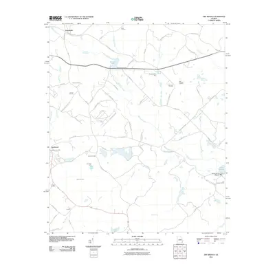
2011 Map of Dry Branch
USGS Topo · Published 2011About this map
Griswoldville and Dry Branch anchor this topographic view of the landscape east of Macon, where the local economy and geography are defined by a network of creeks and small impoundments. The terrain is marked by significant water features including Big Sandy Creek and Wolf Creek, alongside several engineered landmarks such as the Harrisons Lake Dam and Myricks Mill Pond Dam. The area around Myricks Mill reflects the long-standing agricultural and milling traditions of the region.
Find a feature on this map
71 named features on this map. Tap any name to fly to it.
Don’t see what you’re looking for? This feature index may not catch every label — zoom into the map to look around manually.
Map Details
Editions of this 2011 Dry Branch Map
This is the sole edition of this map. No revisions or reprints were ever made.
Other maps of this area

1956 · Gordon
USGS Topo · 1:62,500

1956 · Warner Robins
USGS Topo · 1:62,500

1956 · Jeffersonville
USGS Topo · 1:62,500

1956 · Macon East
USGS Topo · 1:24,000

1956 · Macon
USGS Topo · 1:62,500

1957 · Macon
USGS Topo · 1:250,000

1958 · Macon
USGS Topo · 1:250,000

1964 · Macon
USGS Topo · 1:250,000
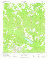
1973 · Gordon
USGS Topo · 1:24,000

1973 · Massey Hill
USGS Topo · 1:24,000